Respeta los apus
PerúParte Uno – Cañon del Pato
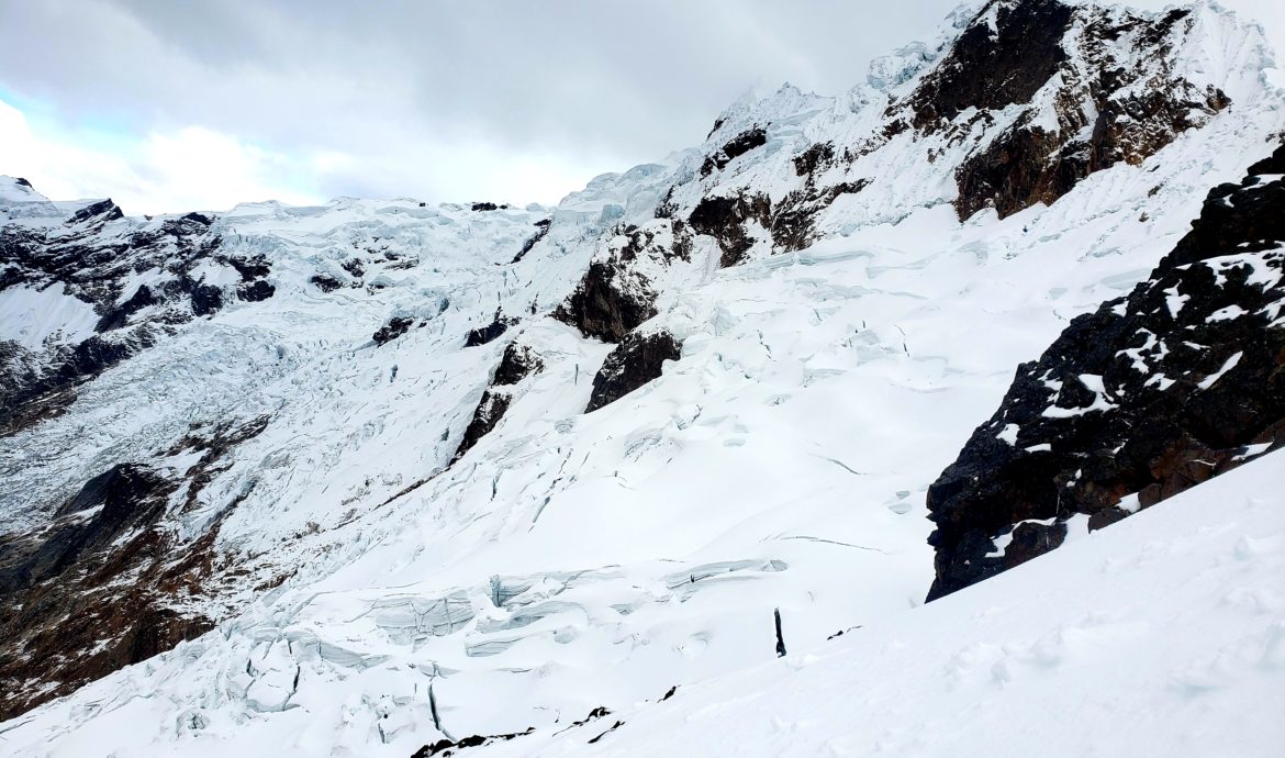
The Incas worshipped the mountains. Apus, the spirits who lived inside the summits, were their gods. Incas sacrificed llamas, alpacas, and even children high up on glaciers, believing that the offerings would appease the apus, resulting in calmer weather patterns, or at least less frequent huaycos, the landslides that come down from the heights of the sierra.
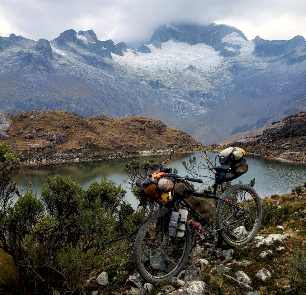
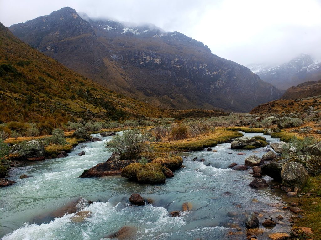
Lakes, especially the glowing turquoise glacial lagunas in the Cordillera Blanca, were also believed to be enchanted. Legends of people turning to stone or getting sucked underwater have kept indigenous people away from lakes even in modern times. One fable explains glacial melt as the tears of upset apus, which swell the high alpine lakes.
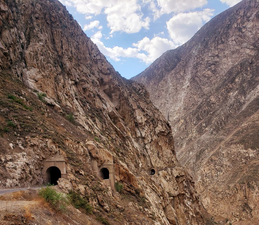
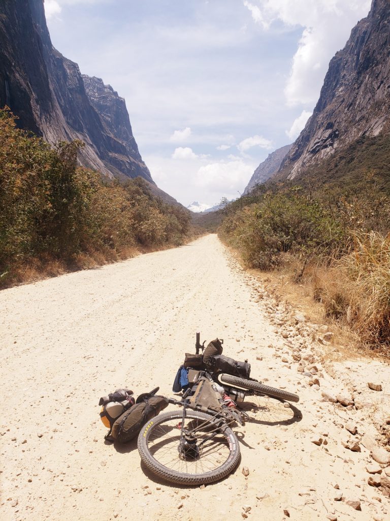
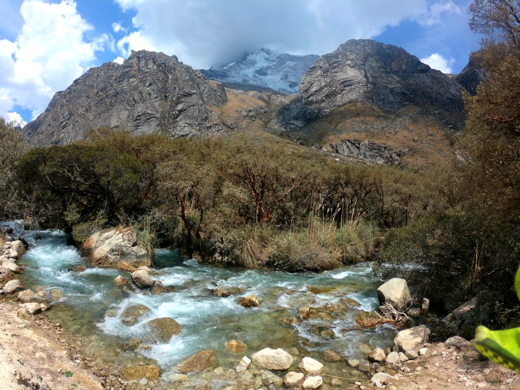
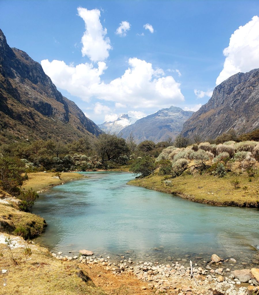
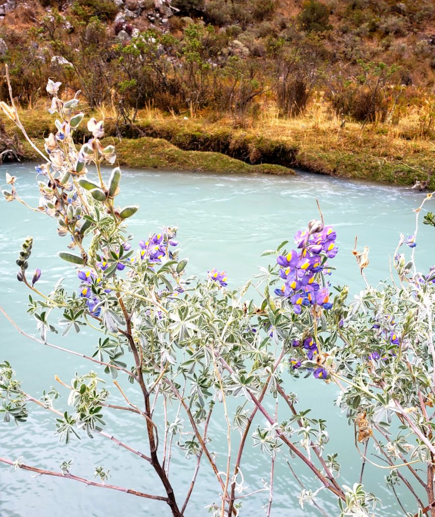
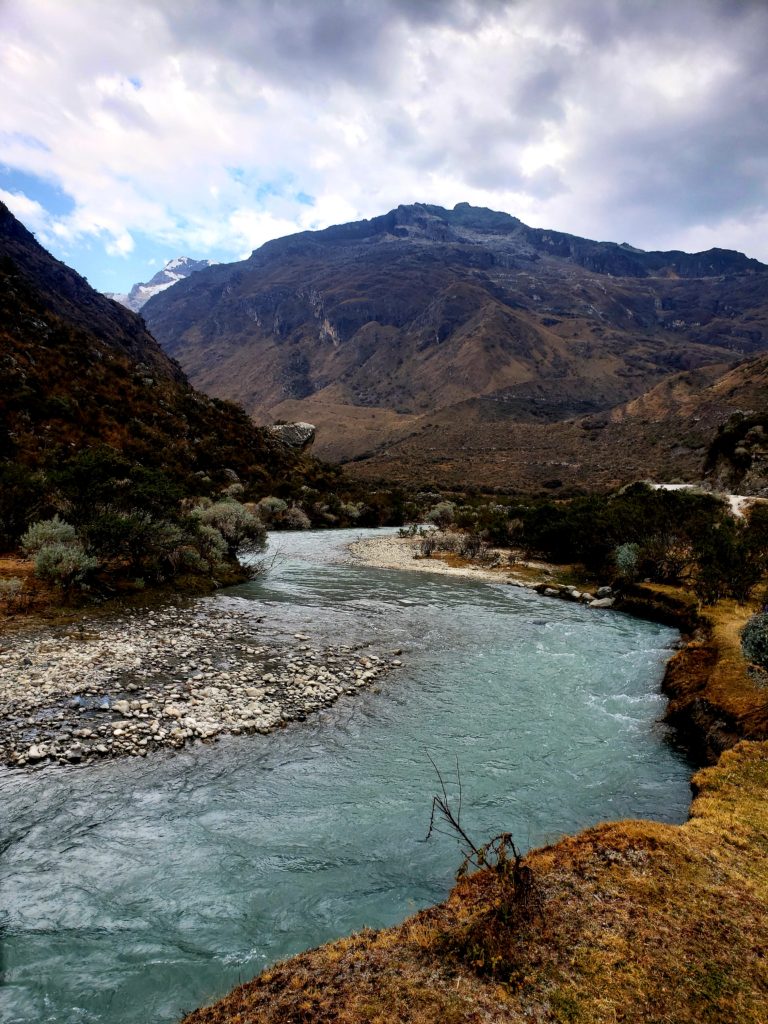
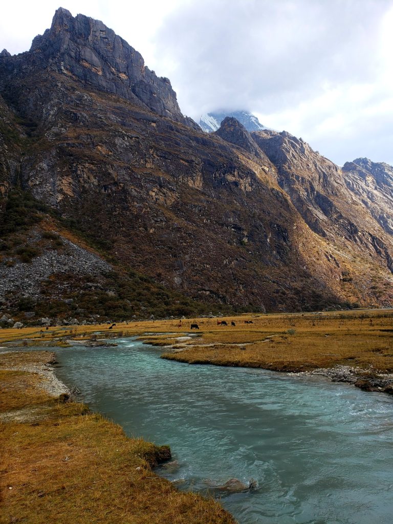
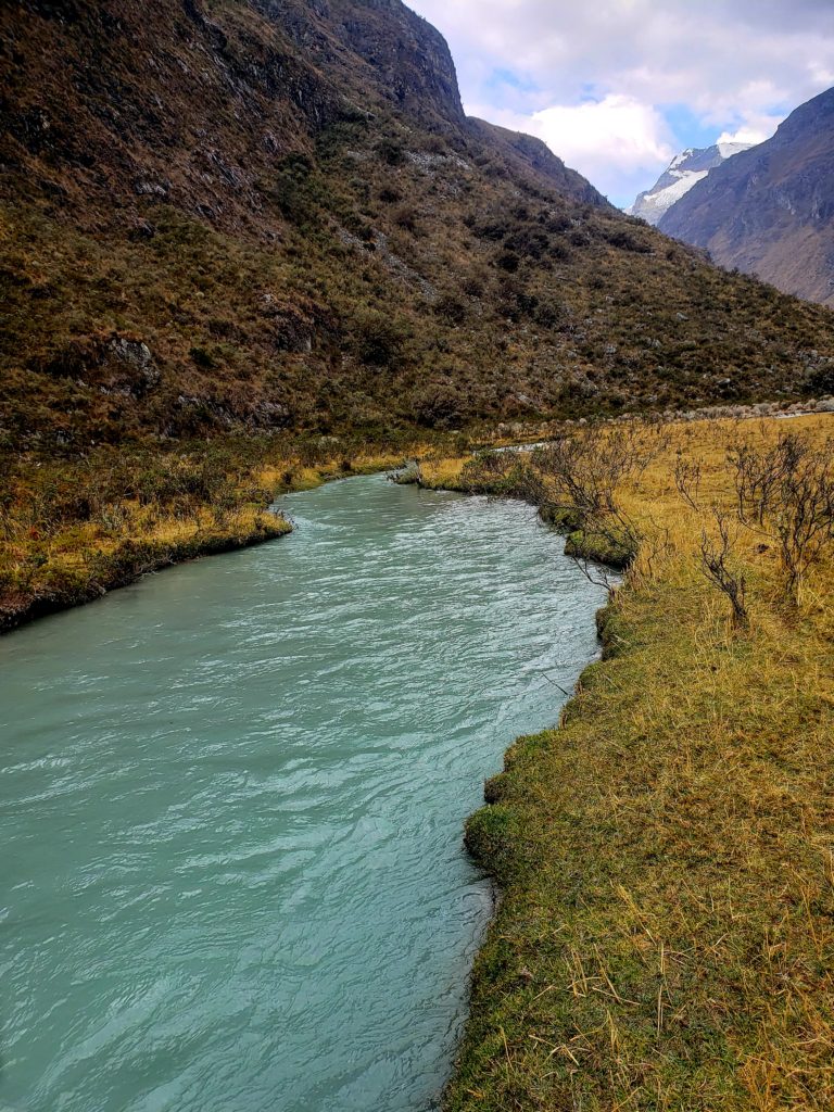
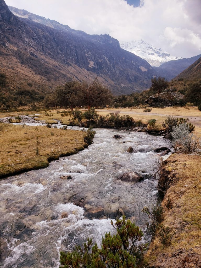
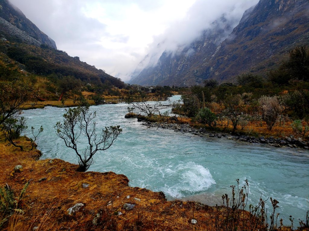
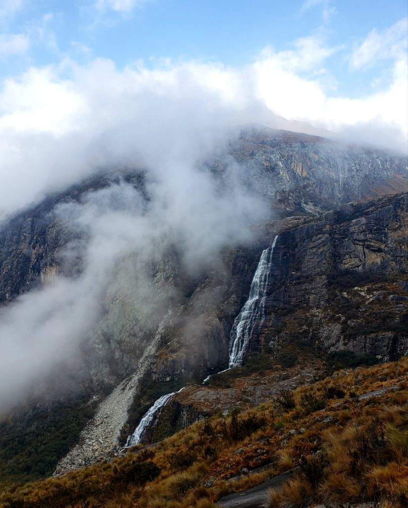
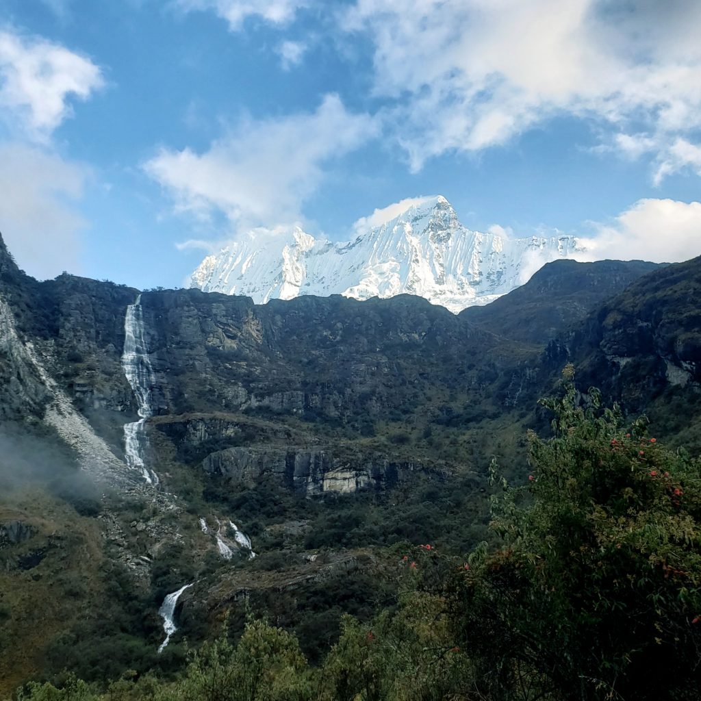
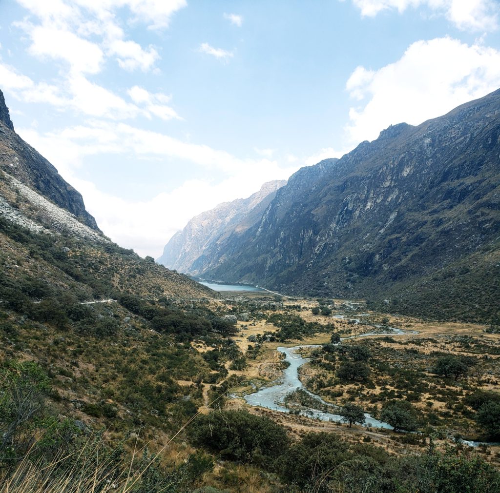
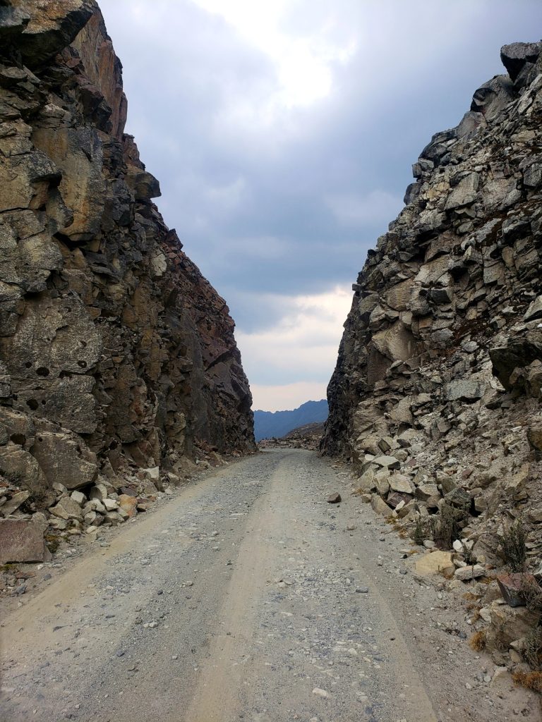
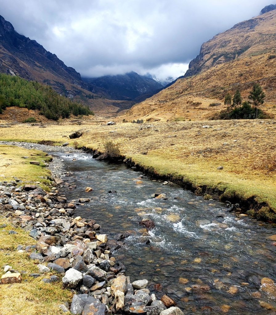
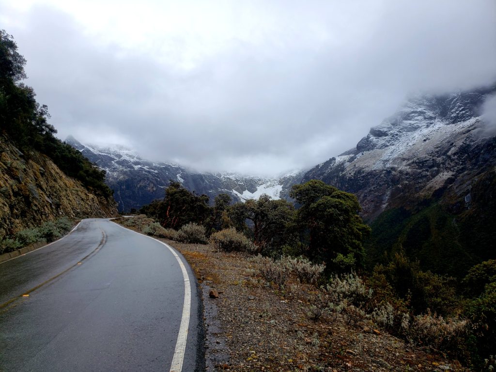
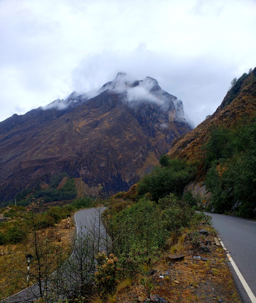
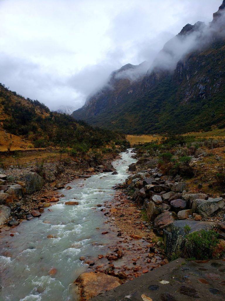
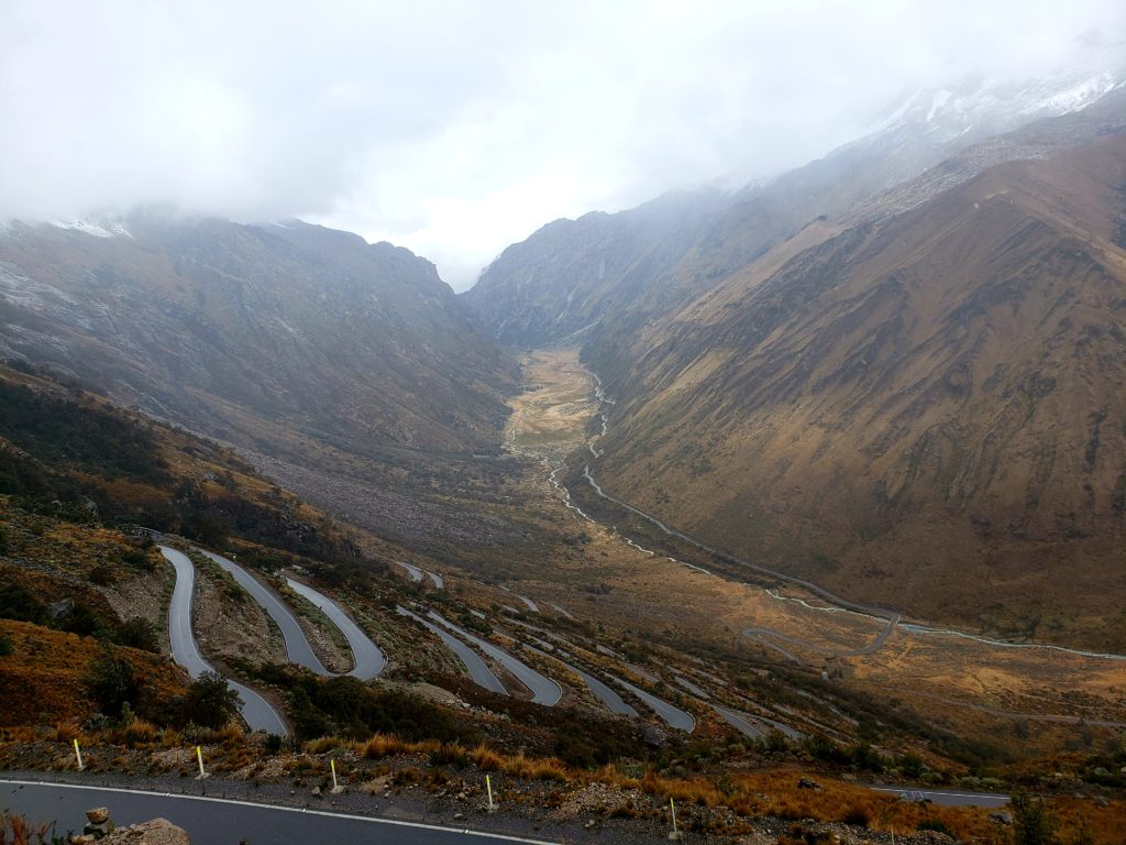
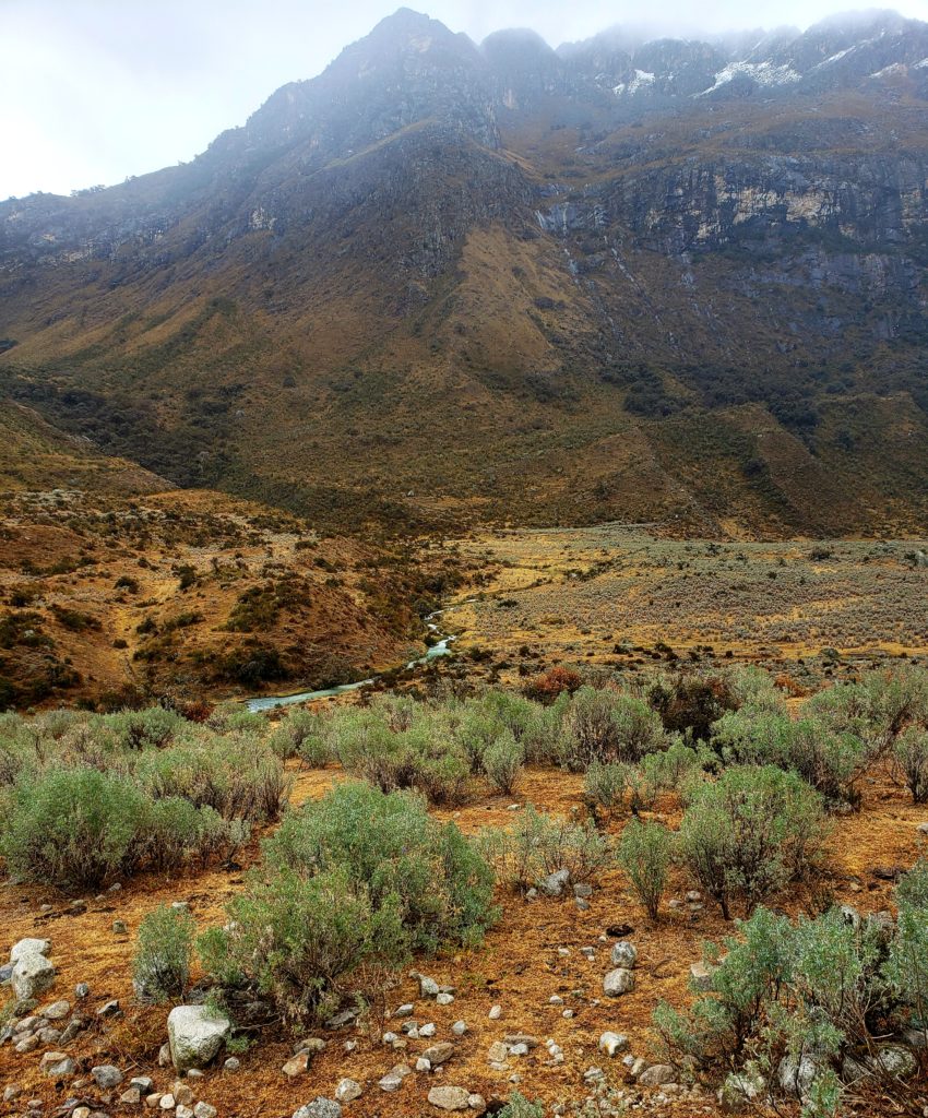
Those tears have increased in the past century with a warming climate, creating hundreds of lakes high in the Cordillera before they trickle out through cascading streams thousands of feet below to join the Río Santa, where they then carve their way between massive cliffs in the Cañon del Pato on their descent to the Pacific Ocean. I biked up Cañon del Pato in the opposite direction, on a narrow road with tunnels blasted through immense cliff sides in a such a frequent, precarious manner that I wondered what economic prerogative justified the tortuous engineering to build a road in this canyon.
I found my answer alongside one of the highest tunnels in the gorge, where a massive hydroelectric dam harnesses the kinetic energy produced by the sorrow of the apus. The plant provides much of the power for the mountainous region surrounding it, as well as the major coastal cities of Chimbote and Trujillo. Modern coastal peruanos seemed to take a different attitude from their fearful indigenous predecessors toward the sacred glacial tears of the Río Santa.
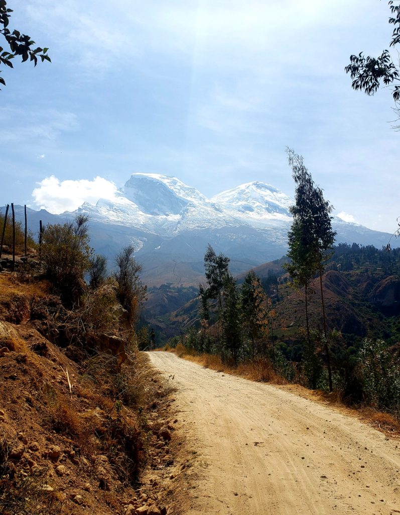
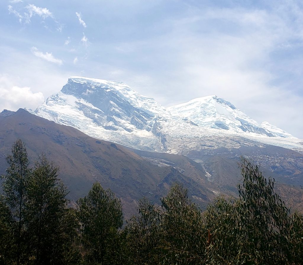
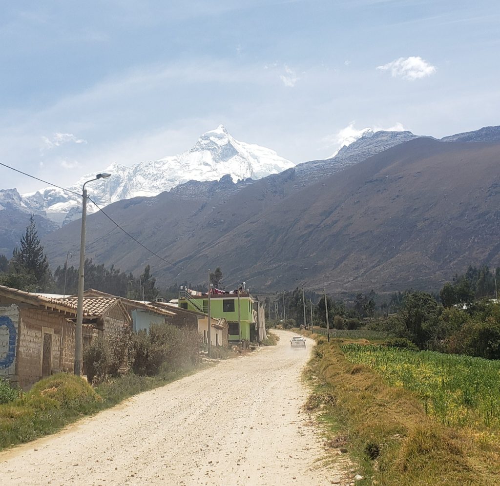
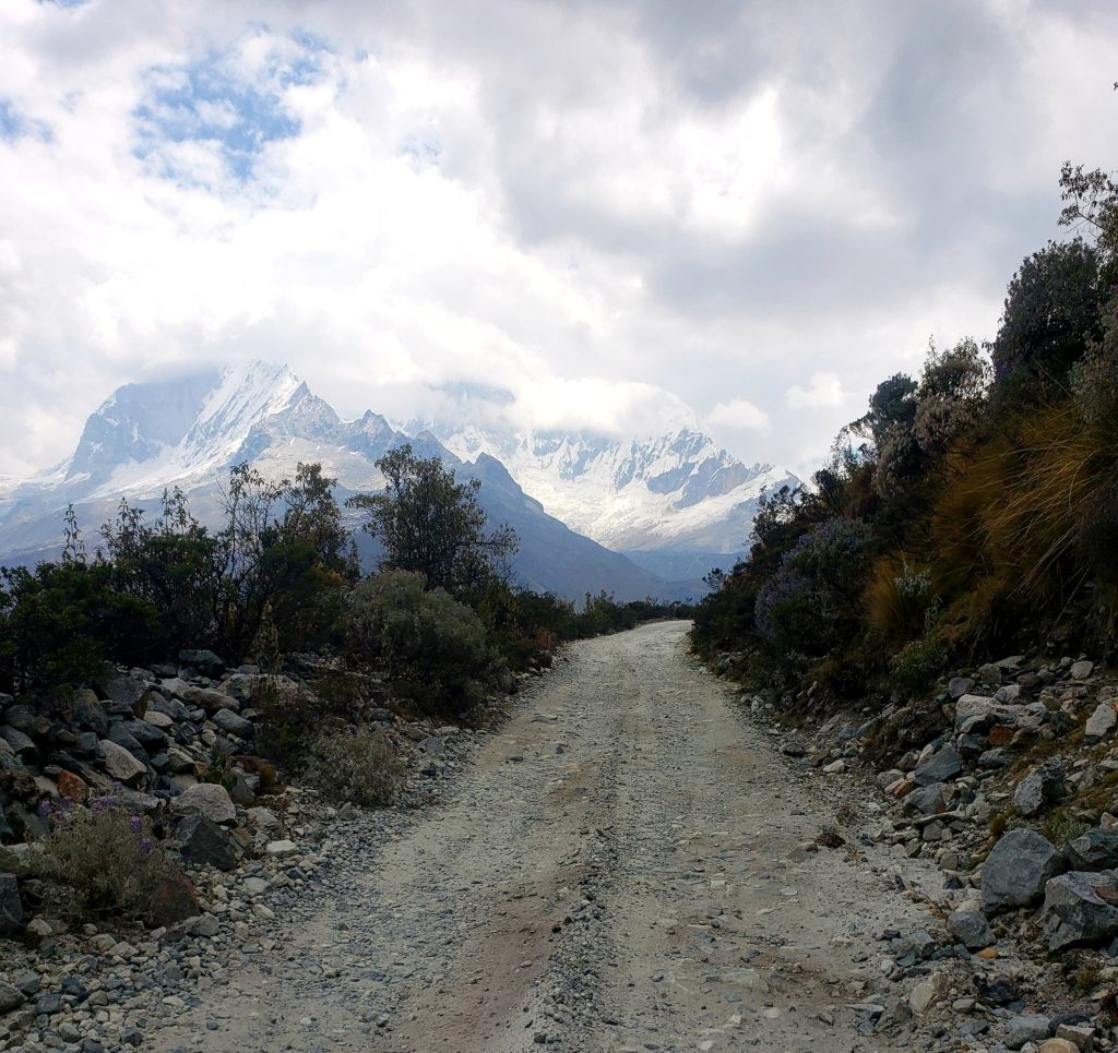
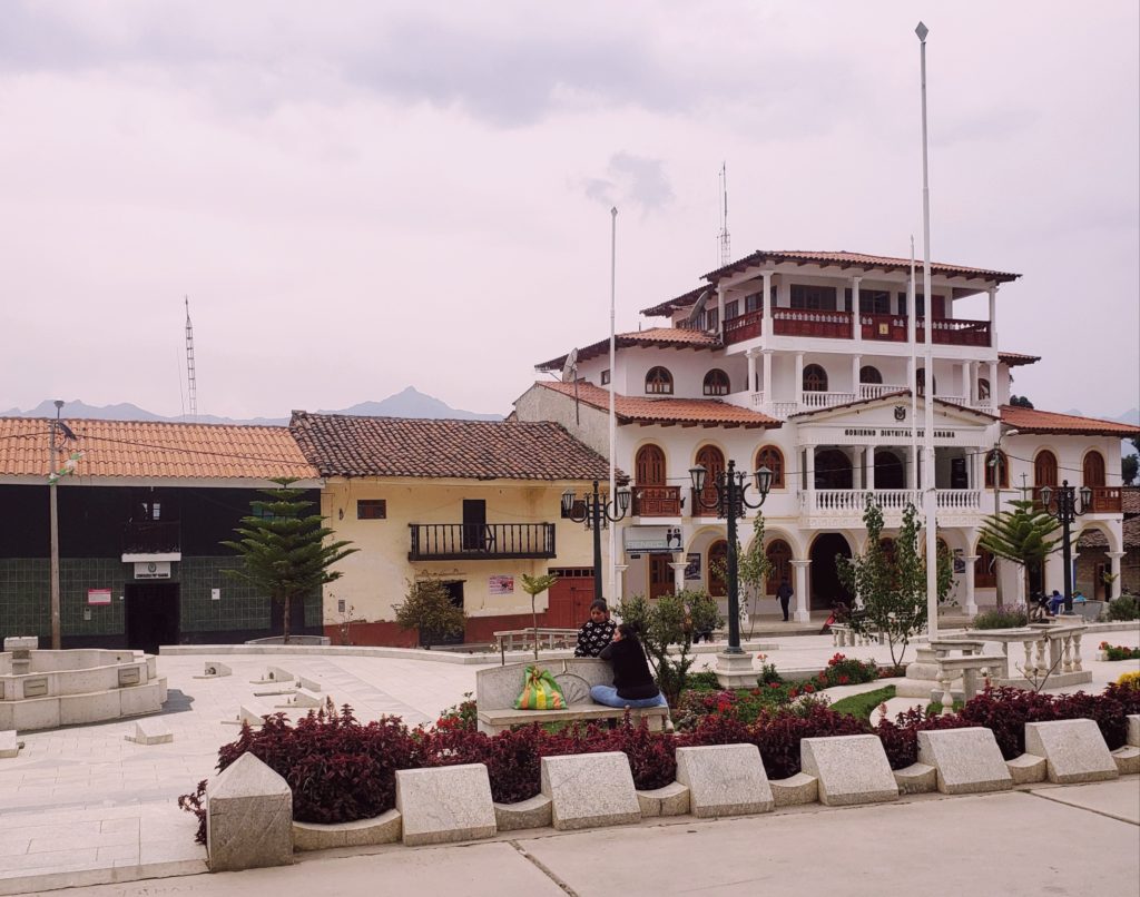
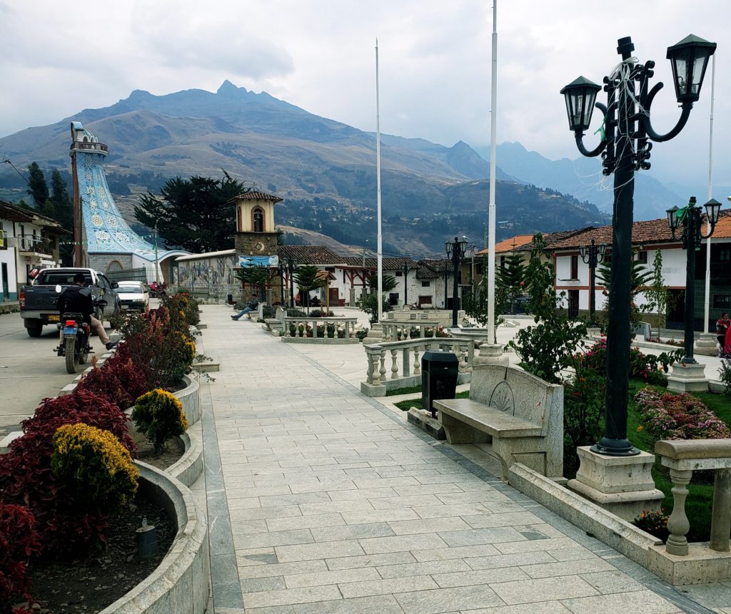
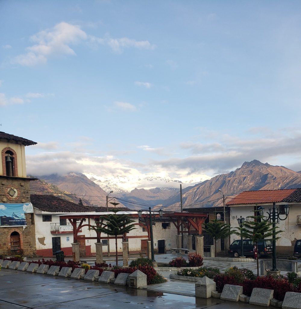
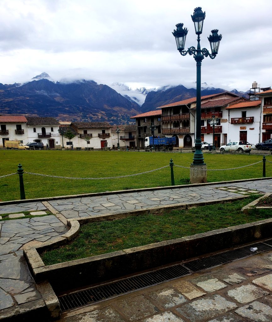
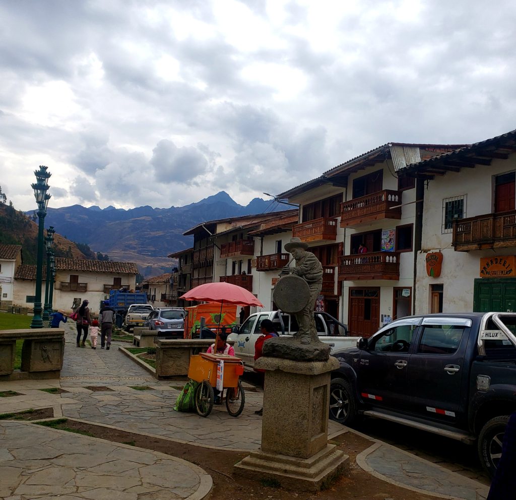
Upstream of the Cañon del Pato, the canyon walls smoothed into a broad valley at the base of the Cordillera Blanca, where I arrived in the town of Caraz. Standing in the dry, sunbaked town and staring up at the white giants above, I had trouble convincing myself that the mountains weren’t deities. They certainly exuded great power, be it divine, economic, or simply aesthetic. The twin peaks of Huascarán, the highest mountain in Perú at 22,205′, loomed most prominently over the valley. I wanted to bike a loop around Huascarán, crossing two high passes, to the east side of the Cordillera and back. But as I stared up at the mountains I hoped to conquer, my legs got weak. I decided to rest for a day. I should respect the apus, I thought.
Parte Dos – Laguna Parón
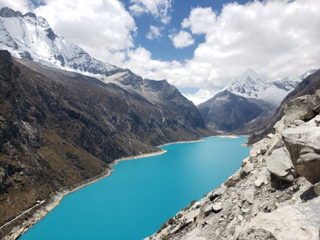
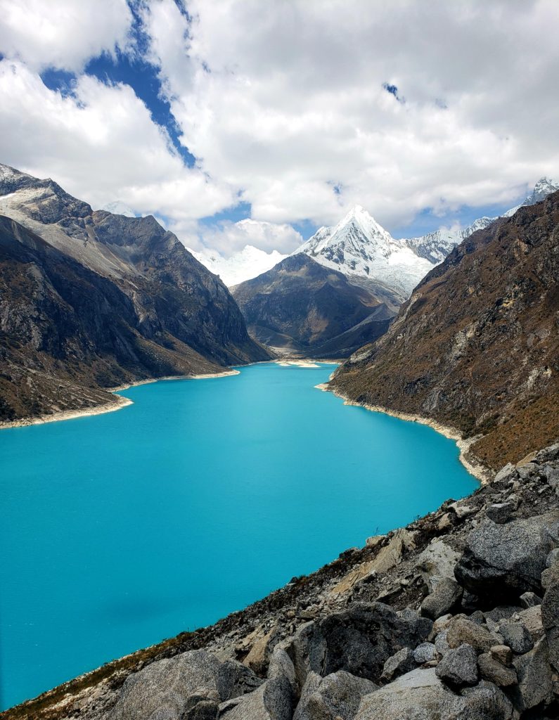
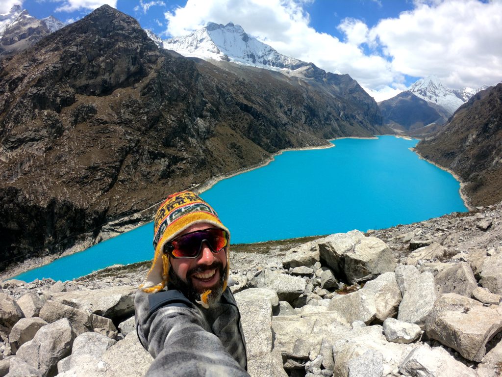
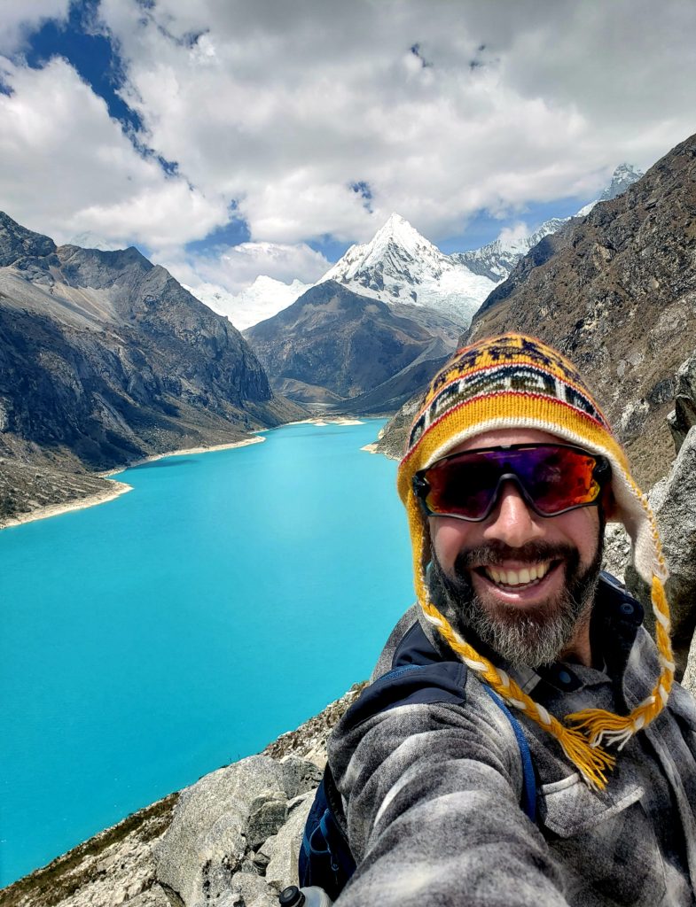
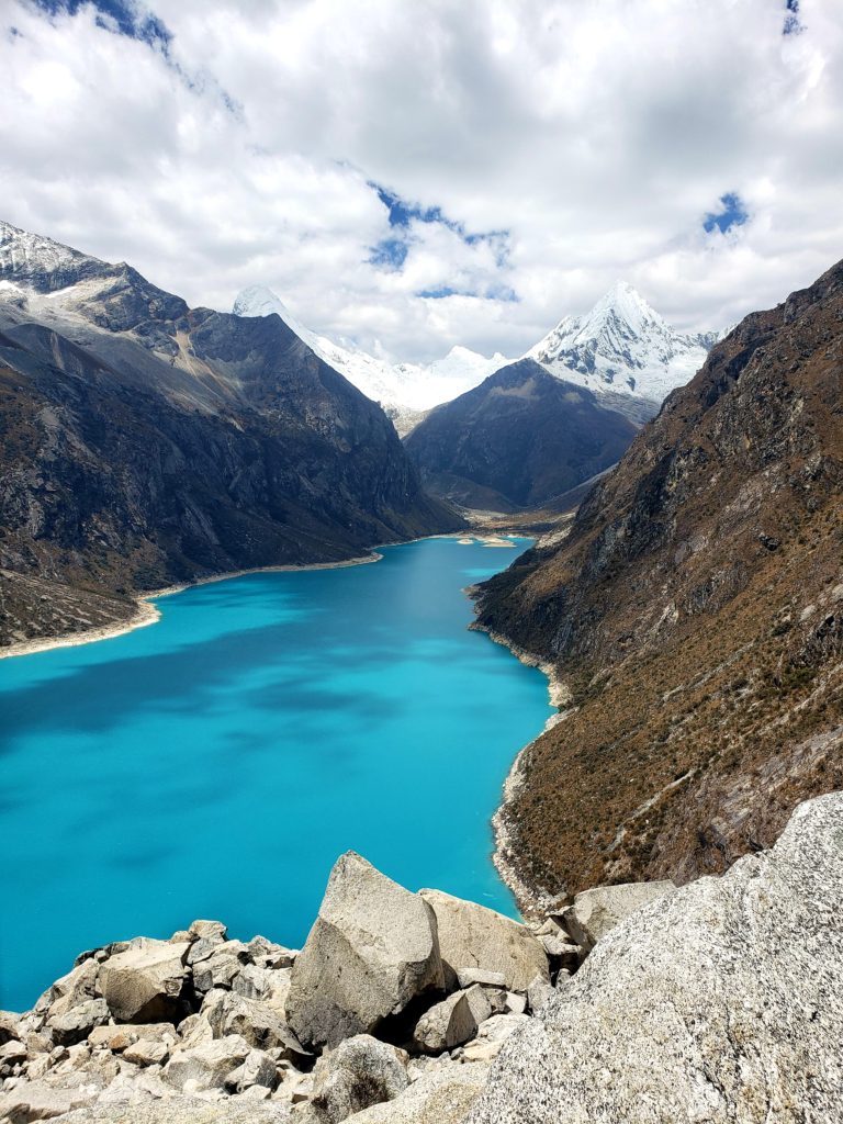
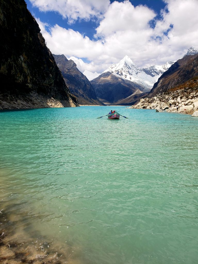
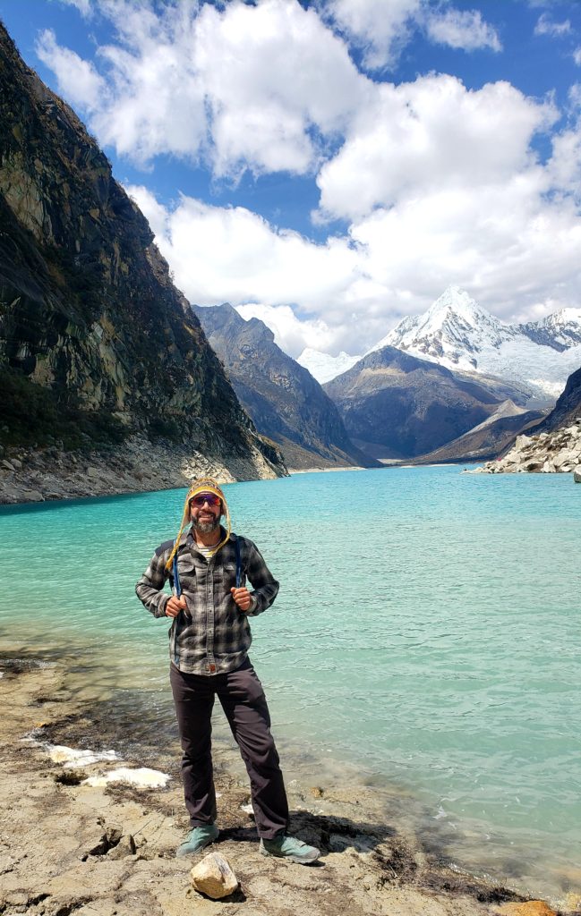
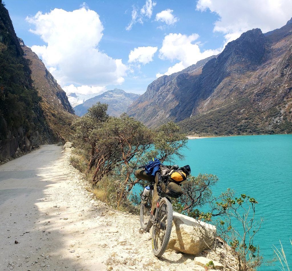
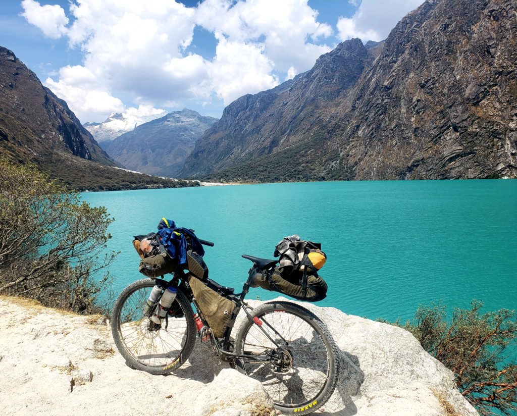
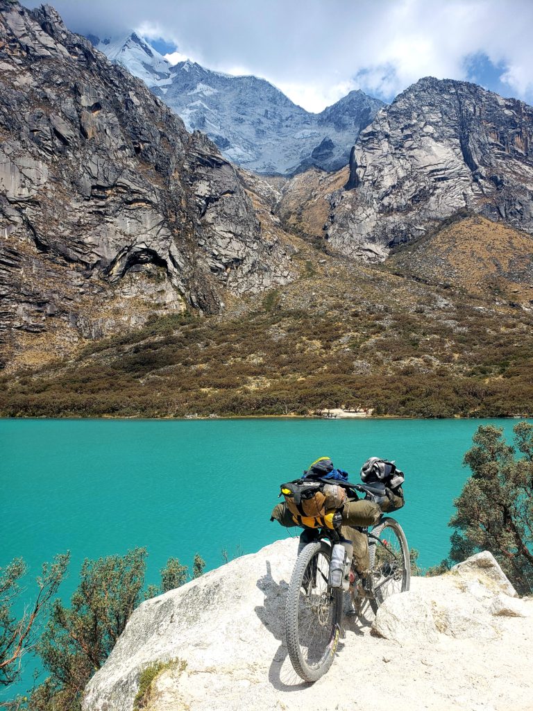
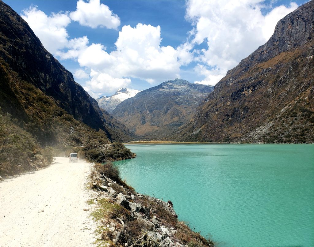
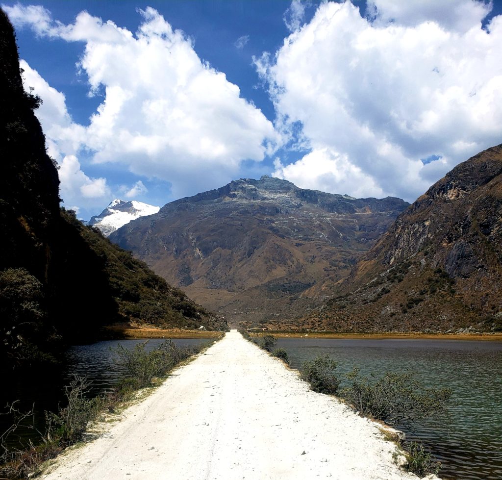
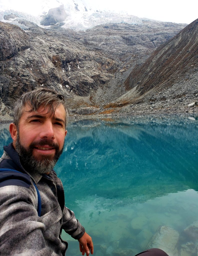
On my day off, I took a tour bus up to one of the nearby enchanted lakes, Laguna Parón, despite the threat of turning into stone. Bumping along a windy dirt road for an hour and a half made my stomach churn. I stared out the window of the stuffy bus filled with tourists, wishing I was riding my bike on this beautiful dirt road instead.
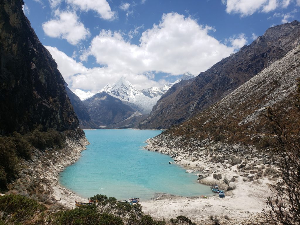
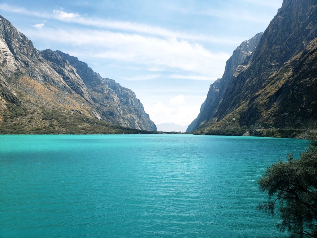
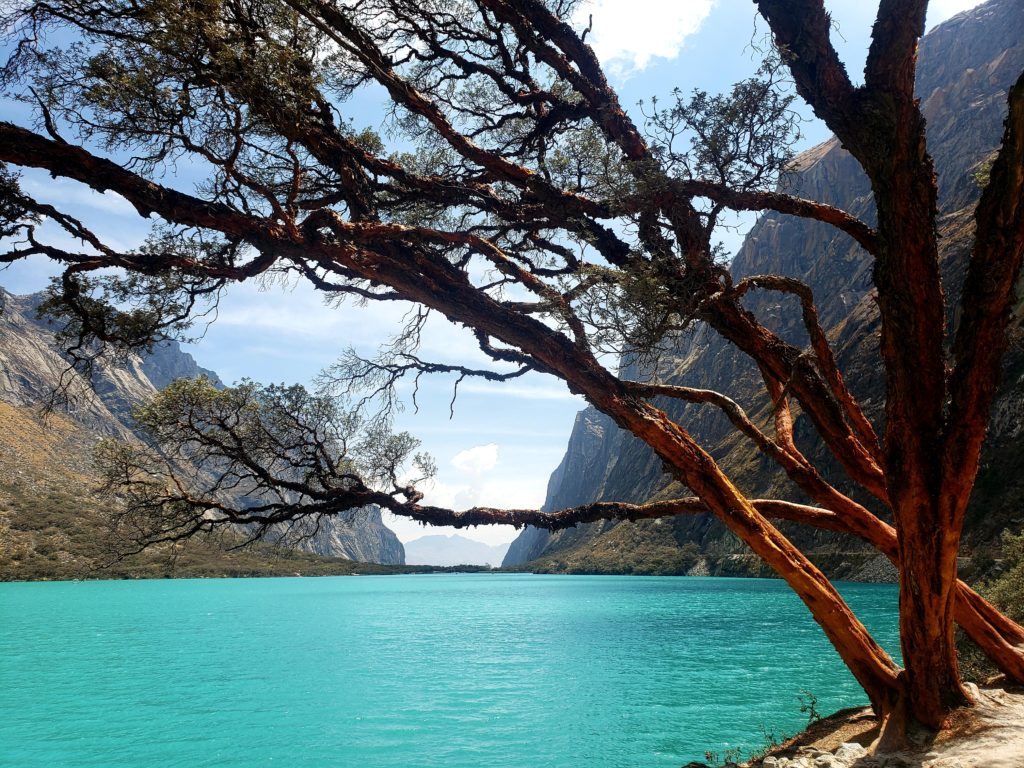
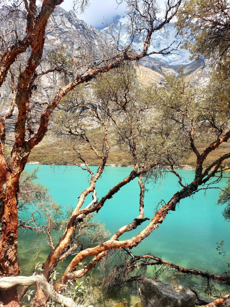
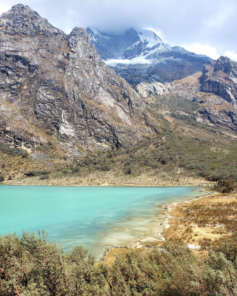
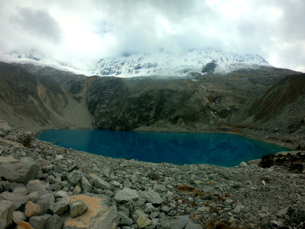
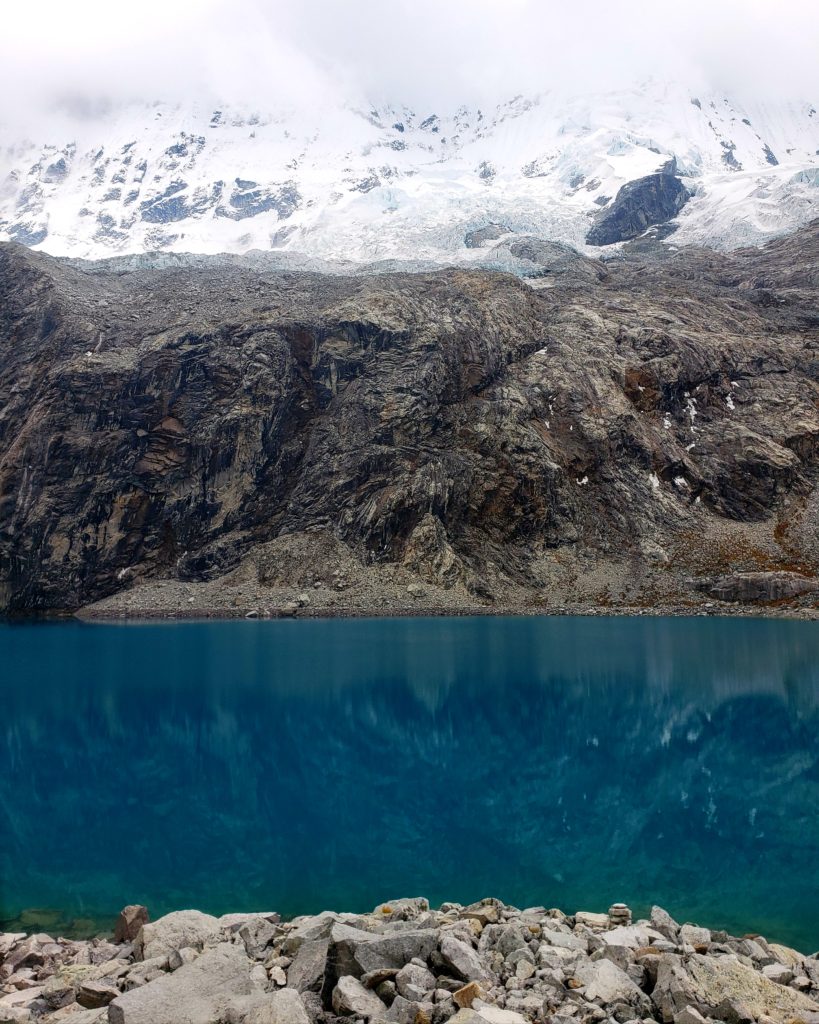
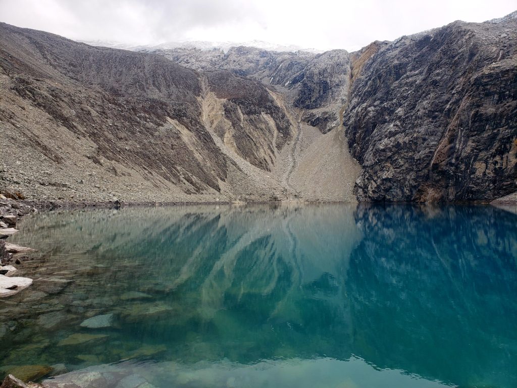
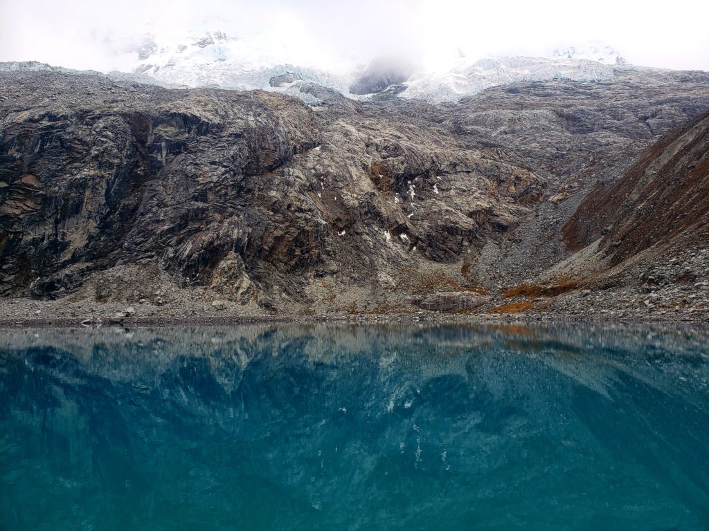
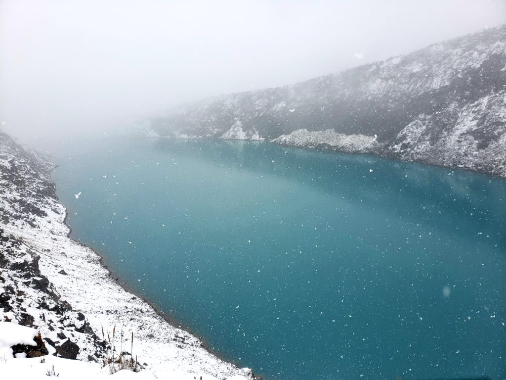
But when we arrived, all misery faded. The lake filled a deep, massive valley with bright turquoise water, surrounded by white peaks pockmarked with crevasses and seracs. How could the indigenous be fearful of this magnificent sight?
I hiked a short way up a hill to get a better view of the lake and noticed a ring of brown around the edge. Must be because off the dry season, I thought. Or is this a reservoir? I would have to look it up later. Looking up that simple question would lead me down a rabbit hole of curiosity, reading a 300-page academic study on the history of watershed management in the Cordillera Blanca (In the Shadow of Melting Glaciers, by Mark Carey).
Turns out, Laguna Parón’s sparkling surface shielded a rather menacing history. In 1941, a similar lake nearby overflowed as a result of rapid glacial melting, broke its natural dam, and caused a debris-infused flood that wiped out a large portion of the city of Huaraz, killing 5,000. A few years later, another glacial flood flattened the town of Chavín and its ancient ruins. Yet another incident, in 1950, destroyed the hydroelectric dam I had seen in Cañon del Pato.
These disasters put the entire region on edge, terrified of the prospect that the apus would target their town next. Caraz was particularly vulnerable, sitting directly below the largest lake in the Cordillera, Laguna Parón. The residents of Caraz repeatedly appealed to the government to drain the giant lake to remove the danger. After the apus had destroyed its prized hydroelectric plant, the government set up a task force to evaluate the risk for all the lakes in the Cordillera. They decided to drain or dam several lakes, but not Parón.
Was Parón safe? Official, non-public analyses said Parón held risk of disaster if an upstream lake overflowed, but the government told residents of Caraz not to worry. In 1952, the public’s concern was vindicated when avalanches in the upper lake caused Parón to rise three meters, totaling four million cubic meters of extra water, and coming within only ten centimeters of the top of its natural dam. Even Catholics were terrified of the apus’ anger — a priest staged a mass at the lake during the flood. Emergency sandbags ultimately saved the natural dam from breaking. Caraz was furious, but the government still made no effort to drain the lake.
Many years later, the government’s motives became clear. The environmental assessments conducted in the 1950s, ostensibly for the safety of Caraz, had privately determined that the lake was far too economically valuable to drain. In 1967, work began on an underground pipeline that would regulate Laguna Parón’s downstream water flow, transforming it into a reservoir that could supply the Cañon del Pato hydroelectric plant with a significant source of energy it lacked during the dry season. If they had drained the lake in the 1950s as requested, before work on the pipeline had begun, that profitable energy source would have been wasted. Budgets and politics delayed the Parón reservoir project, and it wasn’t actually finished until 1984, by Duke Energy, an American corporation that had since purchased and privatized the Cañon del Pato hydroelectric plant.
Fortunately, since 1984, the mechanism that enables the power plant to monetize the glacial lake also allows the company to lower the lake’s level in an emergency. But, between the time the town first petitioned the state and the time the power plant was completed, Caraz was left vulnerable to flooding for 43 years, with one close call in 1952. The apus had been kind — this time.
Parte Tres – Yungay Viejo
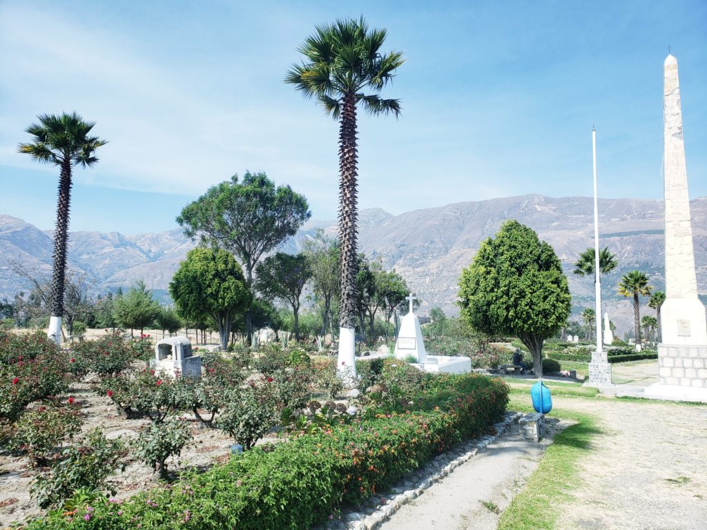
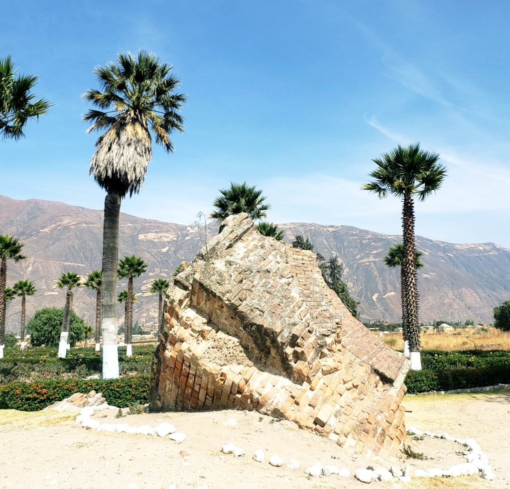
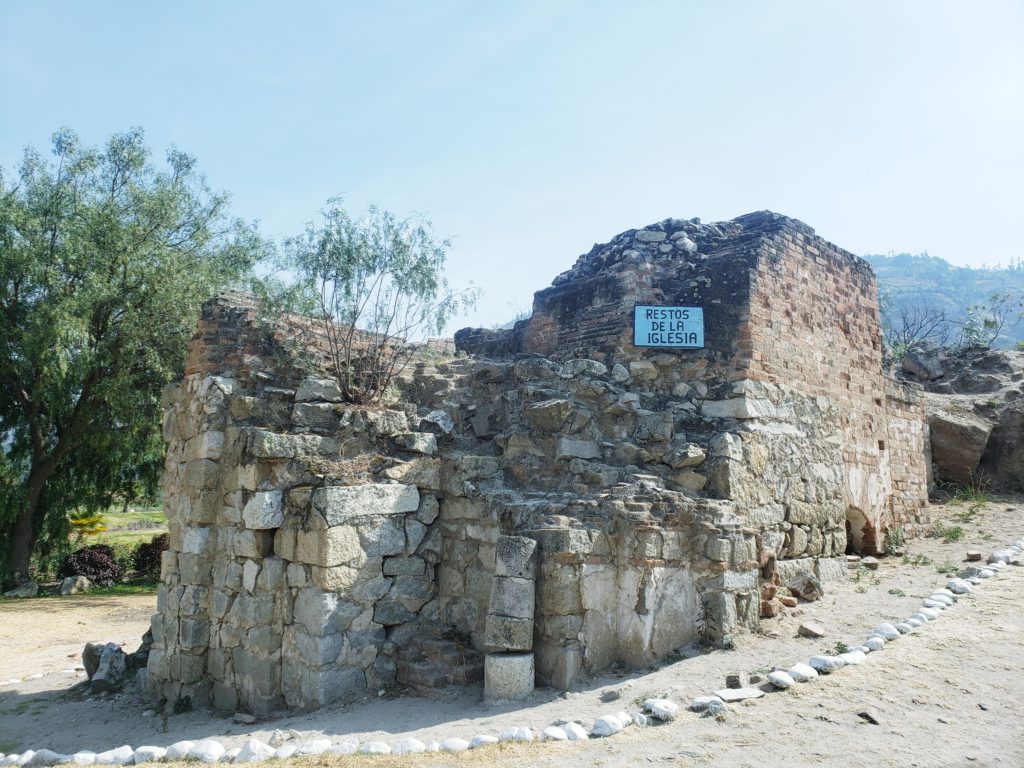
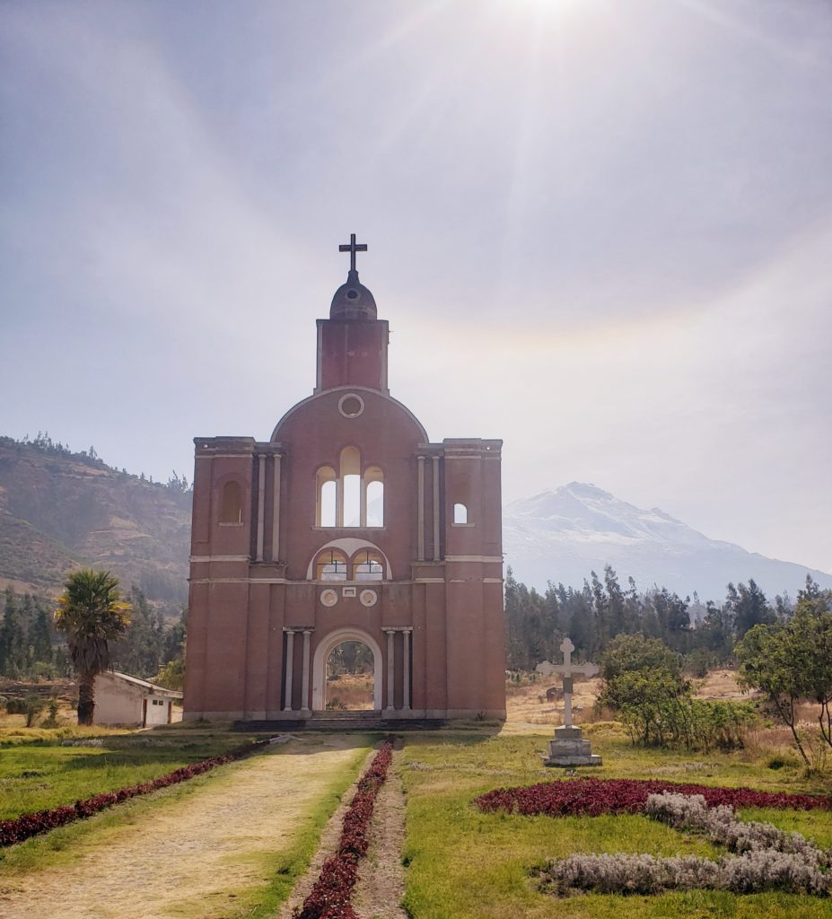
Just upvalley from Caraz sits the town of Yungay, next to which is Yungay Viejo. As I biked through Yungay, the town bustled noisily with market-day excitement. Yungay Viejo, on the other hand, may be the quietest place in Perú. The latter city is thirty feet underground, along with 15,000 former residents, now ghosts, buried alive there in 1970 in the most destructive avalanche in recorded history. The avalanche originated on Huascarán, after a large portion of its glacier was dislodged in a magnitude 7.0 earthquake. Beyond the avalanche, that earthquake killed over 70,000 people across the province, making it the deadliest in the Western Hemisphere until Haiti in 2011.
I pedaled slowly through palm trees, rose bushes, and tombstones, trying to make sense of the ground beneath me. Huascarán loomed in the background, tiny in the distance. How could a piece of it have ended up all the way down here?
I stopped to chat with a man sitting on a bench. He pointed to a nearby hill. “El cementerio.”
I thought it was all a cemetery. “¿No es todo?”
“El cementerio viejo,” he corrected. He explained that the cemetery had been the highest point in town. Only those who ran up the hill when they saw the avalanche coming had survived. They ran to the old graveyard to flee the future graveyard.
What had the apus been so upset about? I shuddered looking at Huascarán. Was it wise to bike up the flank of a mountain that has killed so many? Snap out of it, I thought — I have experience in the mountains.
Parte Cuatro – Laguna 69
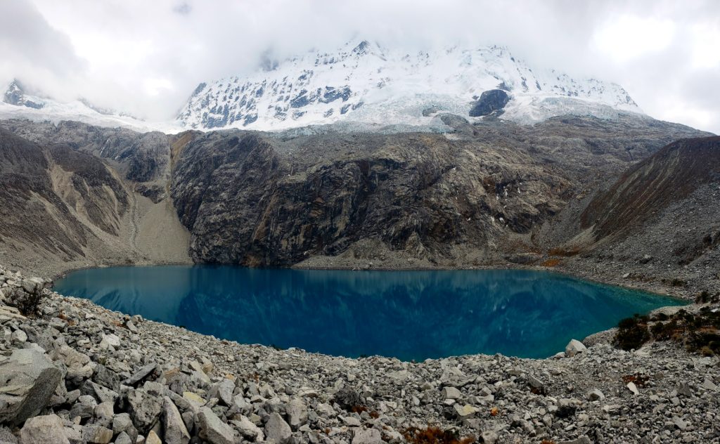
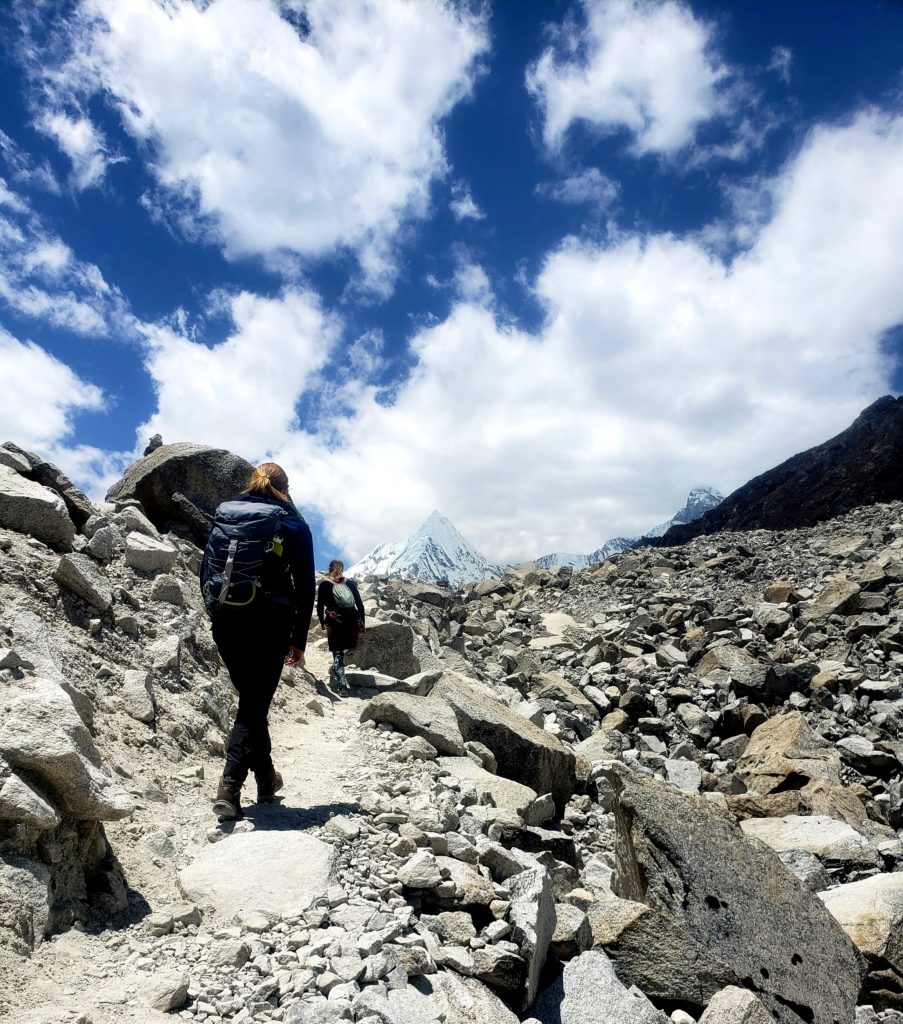
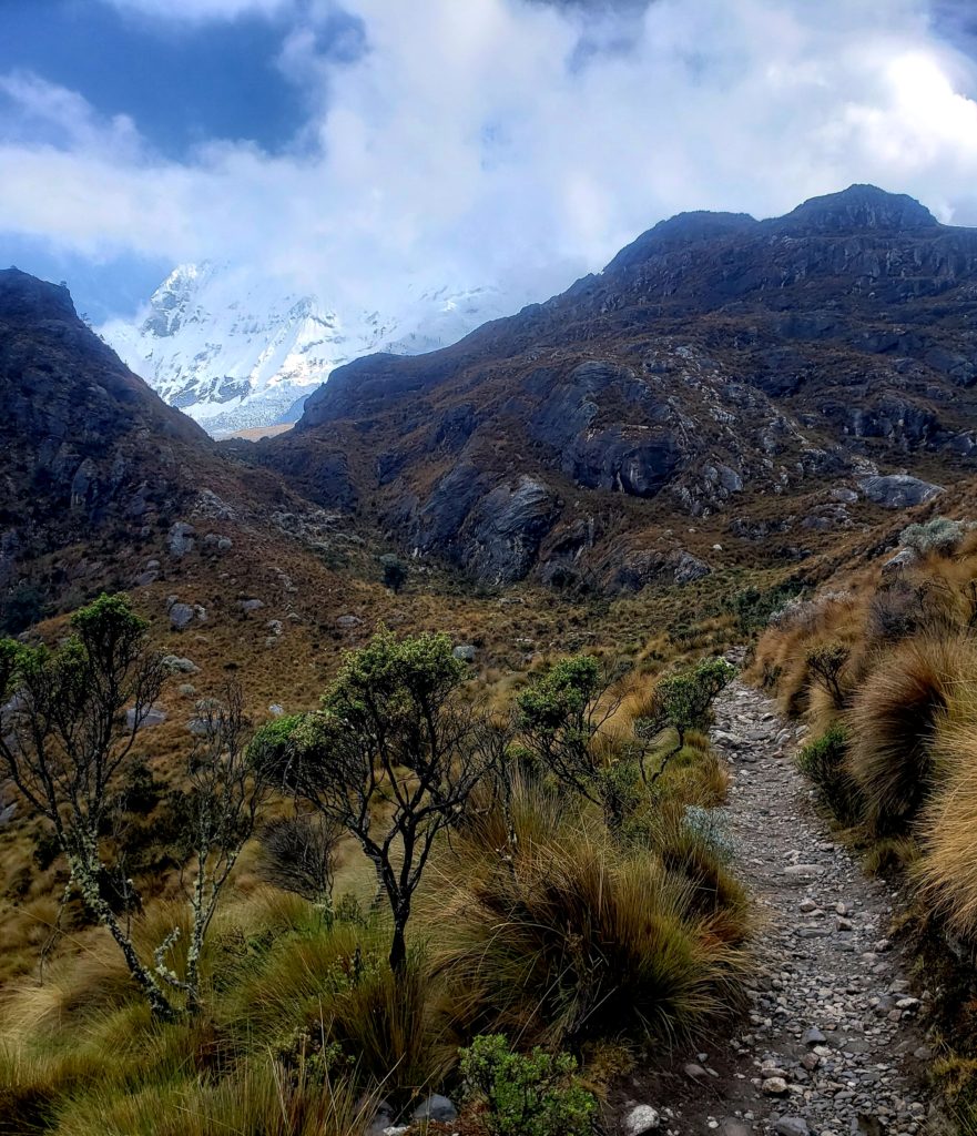
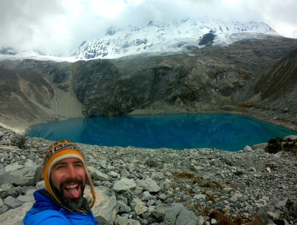
Laguna 69 headlines regional tourist brochures and blogs as the most famous day hike in the region. Busloads of tourists from Huaraz shuttle three hours each way to hike the trail, inspired by Instagram-perfect photos of radiant blue waters foiled by ominous overhanging glaciers. Given its popularity and the spiritual lore surrounding nearby lakes, the boring numerical name surprised me. Were there no enchanted spirits in Laguna 69?
The task force commissioned to evaluate the risk of glacial floods in the Cordillera back in 1950 had taken inventory of all lakes in the mountain range and numbered them. Most lakes, like Parón, retained their original name in everyday usage. But Laguna 69 hid so high up in the mountains that nobody had named it before, so 69 stuck. It almost seemed to me that the bureaucratic numbering system intended to force the spirits from the lakes and claim them property of the secular Peruvian state.
In order to determine which lakes posed danger to the valley below, the task force had to visit them all. This required building roads or trails in places where access did not previously exist. Suddenly, it became possible to drive to Laguna Parón and to walk to Laguna 69. Once again, the task force, who were ostensibly conducting disaster mitigation studies, recognized another potential economic windfall from the Cordillera: tourism. The trail they built to evaluate the stability of glaciers overhanging Laguna 69 could just as easily be used to shepherd tourists from all over the world.
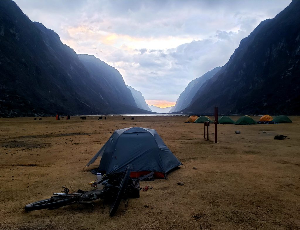
Which, years later, brought me to the trailhead of Laguna 69 at about 2pm after biking up the mountain from Yungay. I figured I’d sneak in a hike that afternoon. After all, it’s just a hike. How hard could it be? A couple of park rangers greeted me, asking to see my entry ticket to the national park.
“¿Estás acampando aquí?” they asked. I told them I was camping, but that I wanted to hike the trail first.
“¿La laguna? Demasiado tarde. Vas en la mañana.”
I don’t like people telling me I can’t do things. I knew that it takes most people five hours to do the hike, but I was pretty sure I could hustle and do it in three, before the sunset. Besides, if I did it in the morning, I’d get a really late start biking.
“Está bien. Tengo experiencia en las montañas,” I assured them. The ranger frowned.
“No es seguro para ir solo en la tarde. Va a llover.” The sky was blue. It didn’t look like it was going to rain. And I didn’t like that he dismissed my credentials.
But then I looked up at the peaks and thought, it sure looks cold up there. I’m tired from riding. And I’m not familiar with this terrain like the rangers are. I suppose I should respect the apus. I’ll do it in the morning.
A couple hours later, it started raining while I was in my tent.
Parte Cinco – Portachuelo Llanganuco
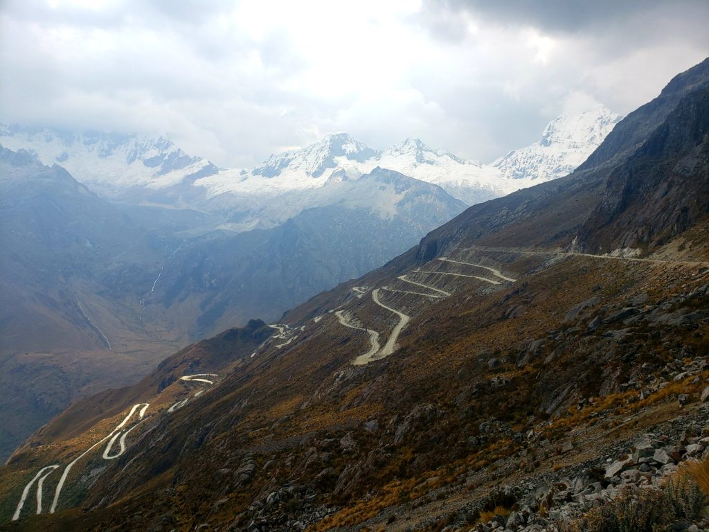
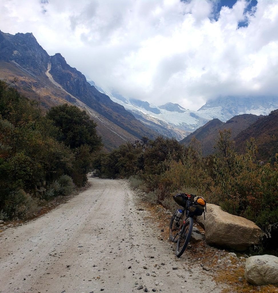
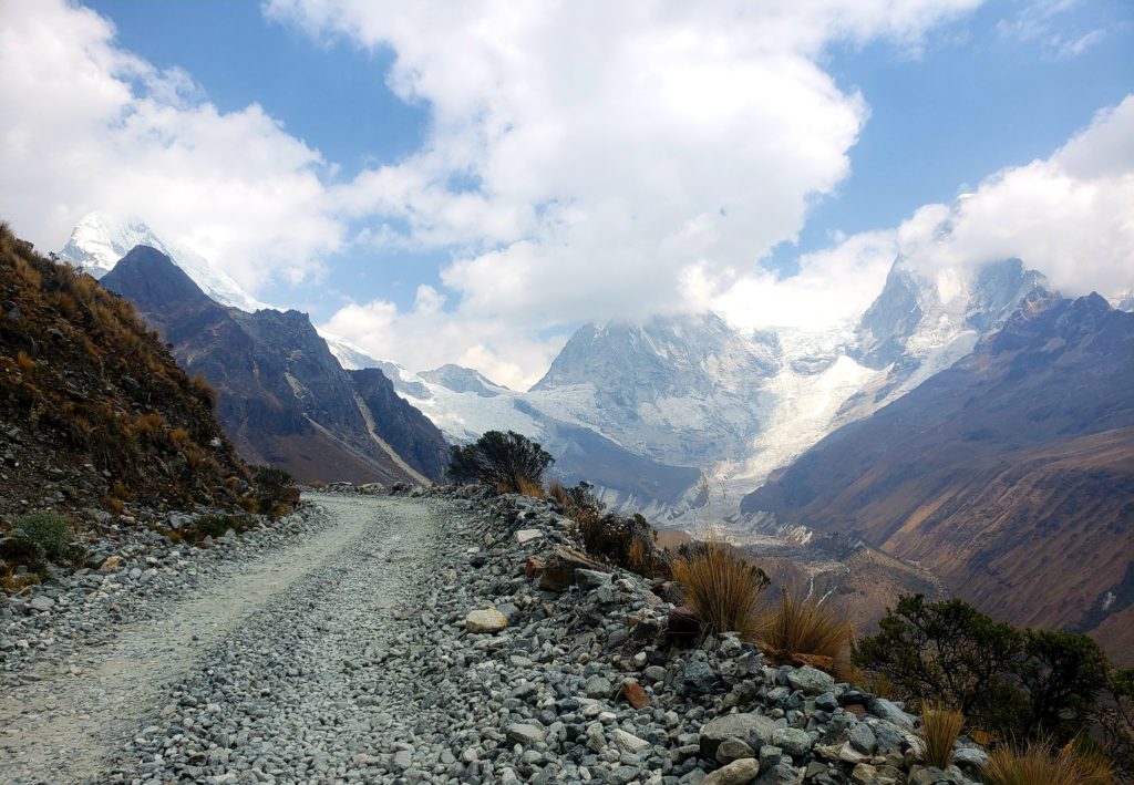
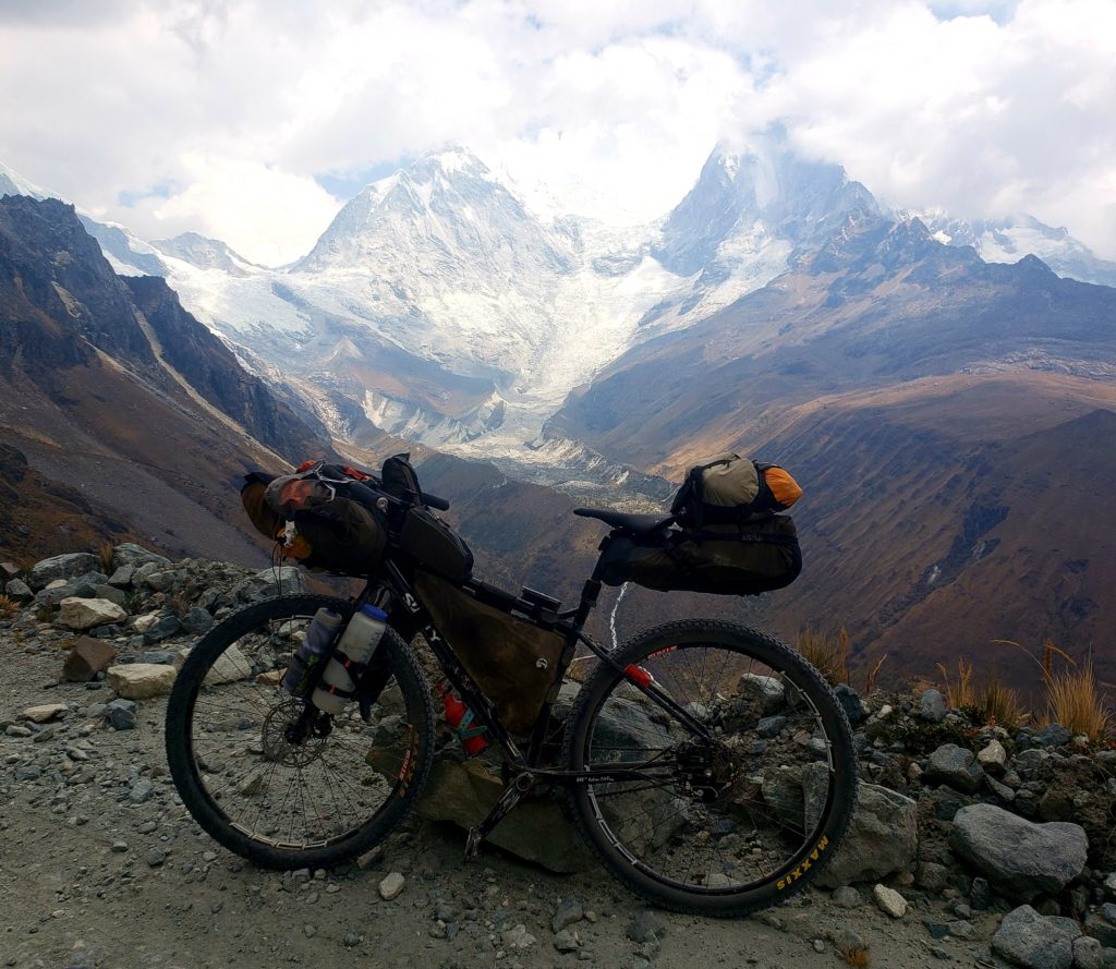
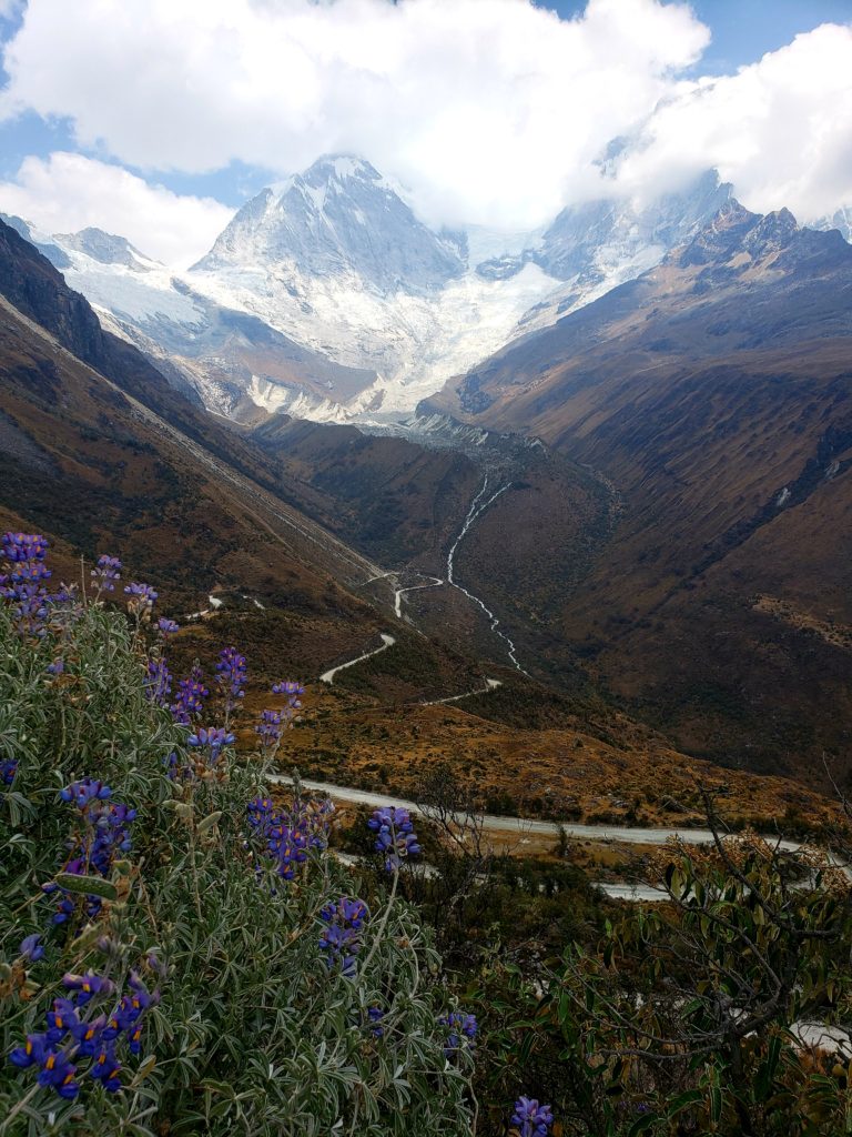
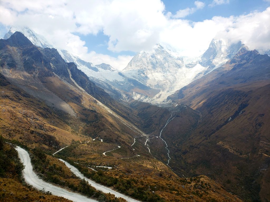
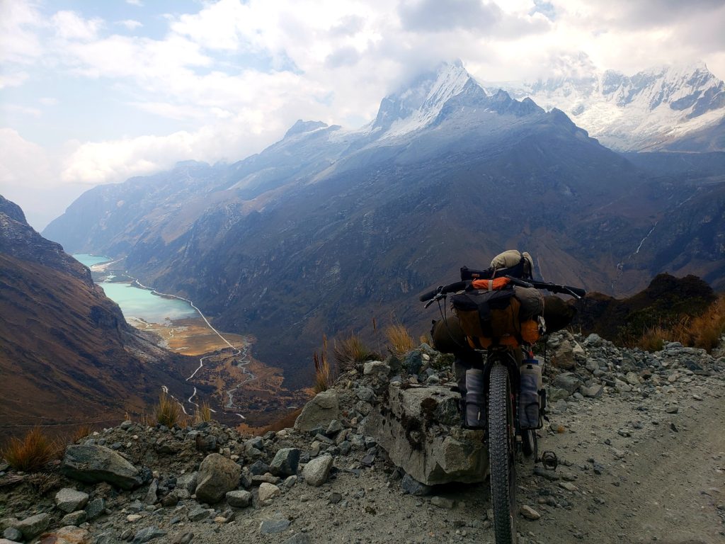
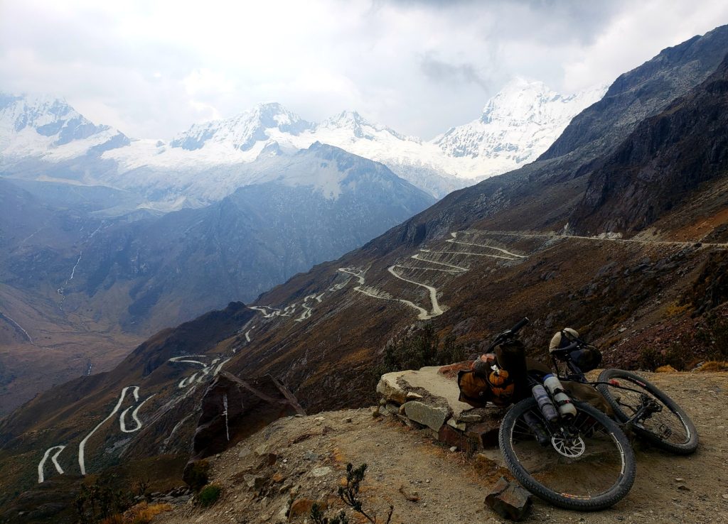
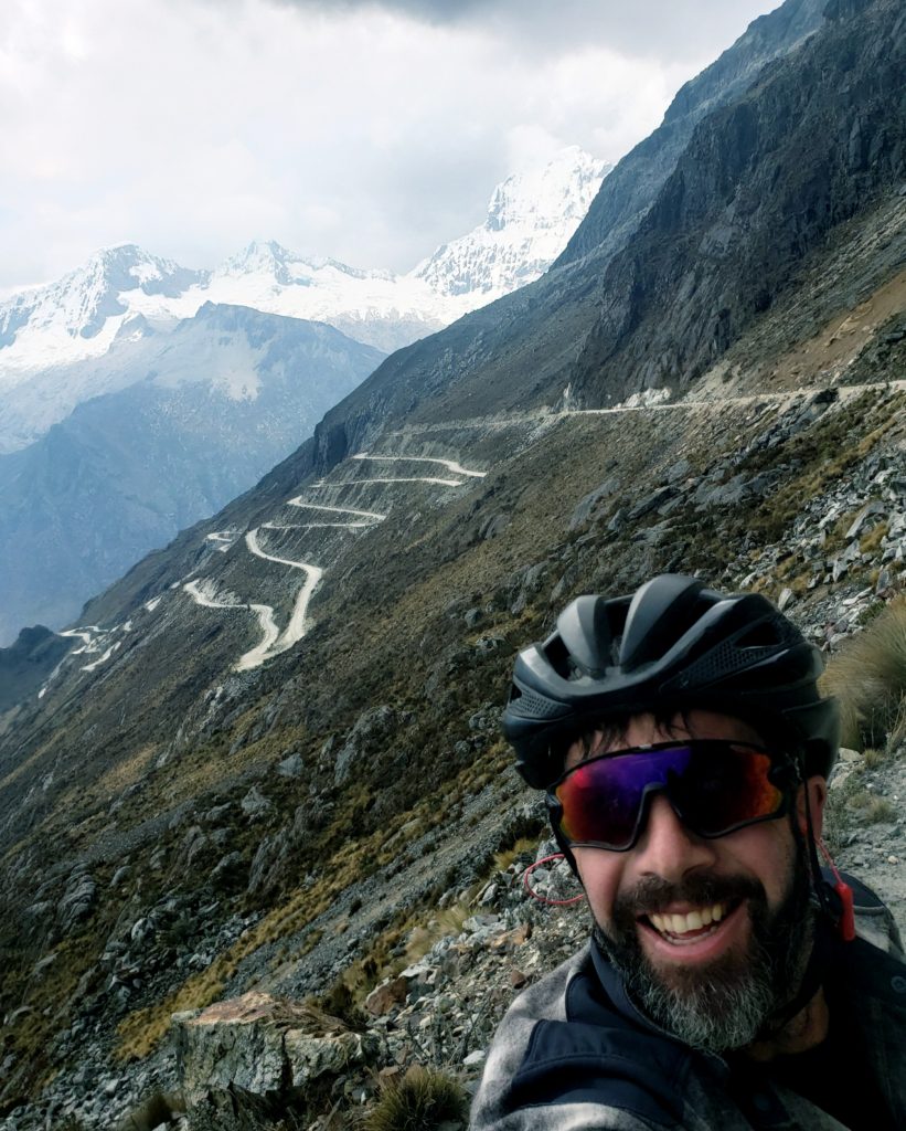
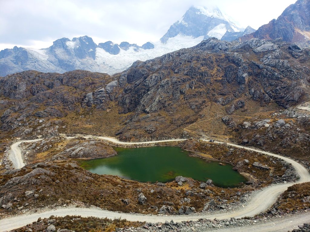
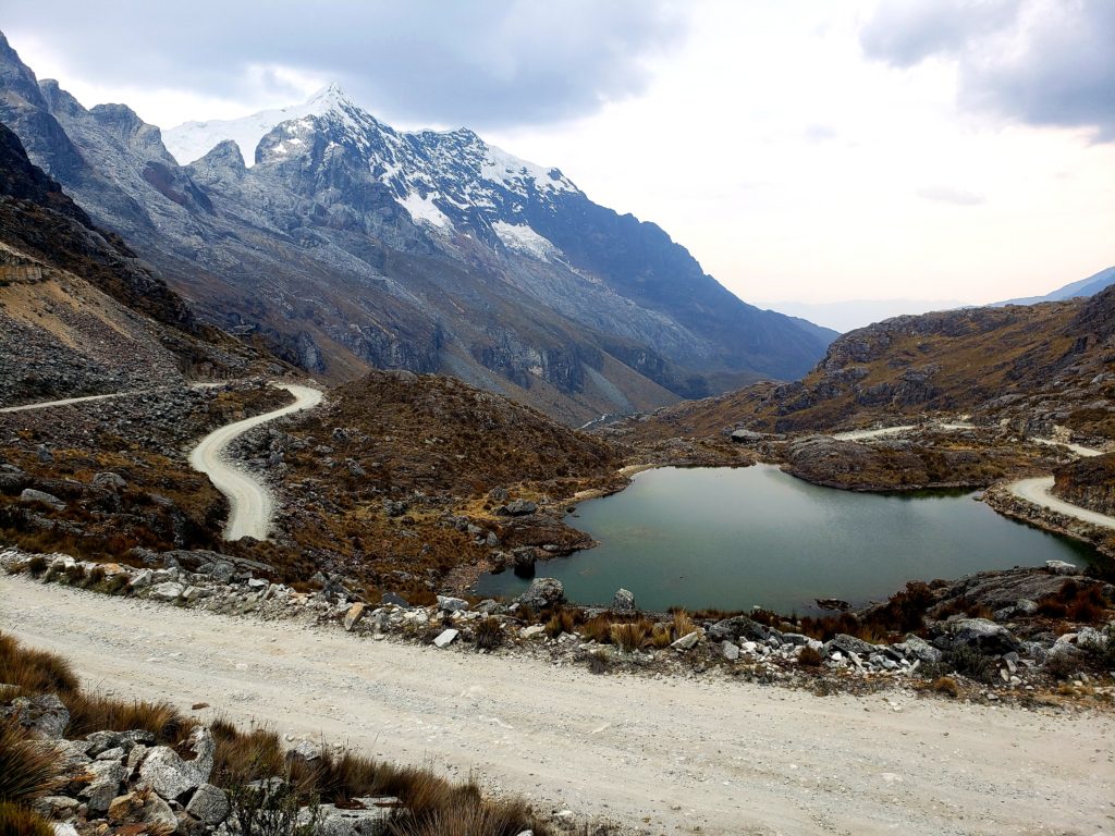
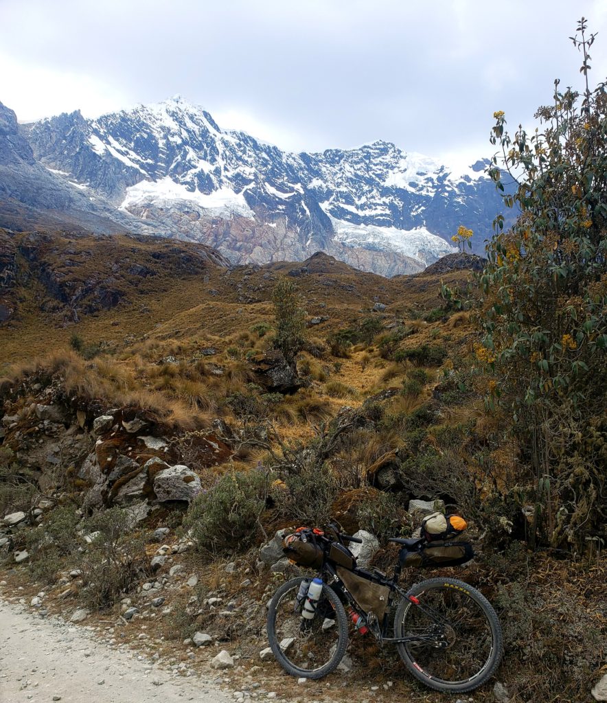
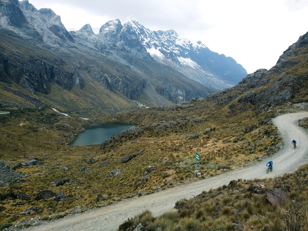
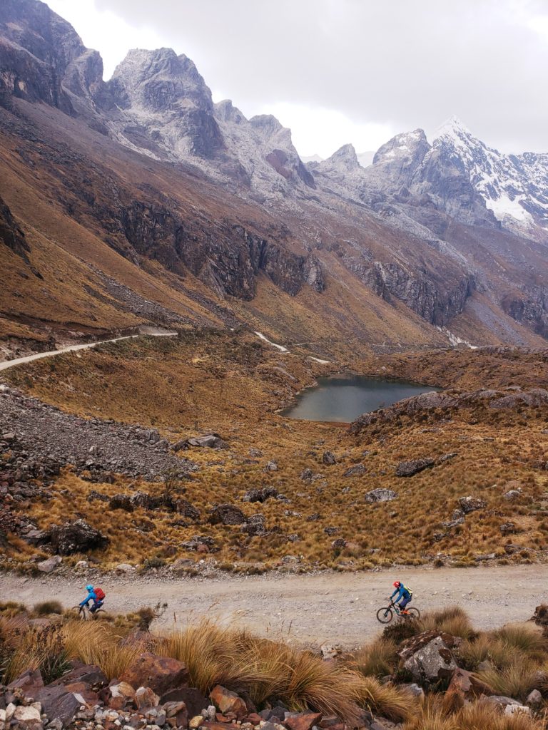
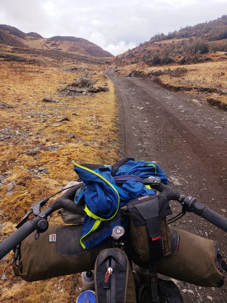
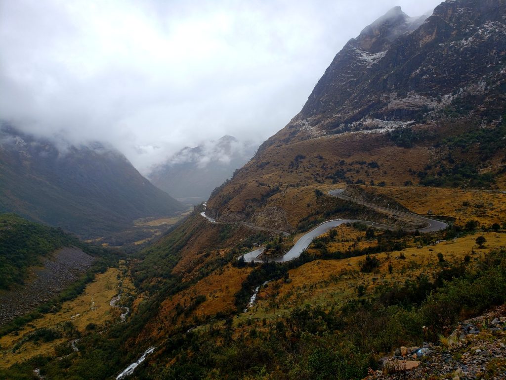
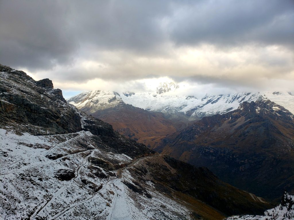
Switchback after switchback after switchback led my bike and me to the top of Portachuelo Llanganuco at 15,639’. The other side of the pass, to the east, presented a new view of endless mountains, glaciers and lakes. On this side of the pass, the apus’ glacial tears weep into the Río Marañon, which eventually drains into the Amazon rather than the Pacific.
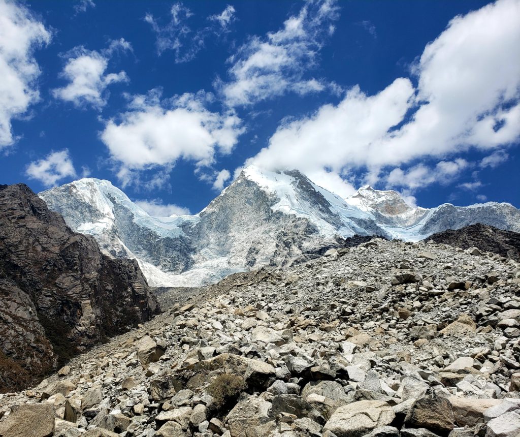
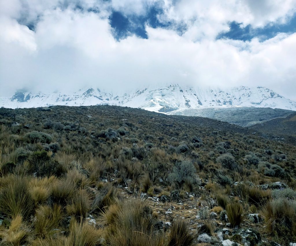
To the west, I looked back at Huascarán, now eye-to-eye with the glaciers on the backside of the behemoth. I mapped out slopes between crevasses that I thought I might be able to ski down. I couldn’t believe I was up here, higher than I’ve ever been on a bike before, at eye level with the mountain that seemed so tiny back in Yungay. The altitude wasn’t bothering me. I felt like I could do anything.
Suddenly, I heard a rumble as two jeeps pulled up beside me. They carried several heavy duty mountain bikes. Out hopped some guys with cameras and helmets.
“You are my hero for today!” one of the bikers said to me in English, with a Spanish accent.
“Is that an e-bike?” another asked, with a familiar North American twang.
“No,” I laughed.
“You mean you rode all the way up here?”
“Well – it took two days.”
The first Jeep carried bikers from Spain and the second, from British Columbia. They were filming downhill mountain biking stunts on the pass. I chatted with them and introduced myself, shaking hands with everyone except for the last Canadian.
“Sorry, I can’t shake hands right now. I think I just broke my other wrist.”
“Other wrist?”
“I broke this one yesterday,” he said, showing me a heavily bandaged arm.
“On this road?” I asked, suddenly worried about my descent.
“No, on a trail up there.” I hadn’t even realized that there were trails up here other than the dirt road I had traveled.
The Canadians debated how to get their wrist-less friend medical attention while the Spaniards rode off to shoot more film. I wished them good luck as I carefully rode away. My daydreams of skiing down Huascarán faded as I felt threatened again by the mountains around me.
Further down the trail, I met an Australian bikepacker named Nathan. As we exchanged stories from the road, he told me he’d just ridden the Alpamayo circuit with some friends. The Alpamayo circuit is a trekking route, not a bike trail, but some diehards push their bikes up the mountain so they can ride down technical singletrack. Sounded fun, until one of his friends fell off a cliff, broke both his ankles, and had to be evacuated. Nathan said his friend had been lucky, but I still shuddered. The apus had been targeting cyclists, it seemed.
Parte Seis – Punta Olimpica
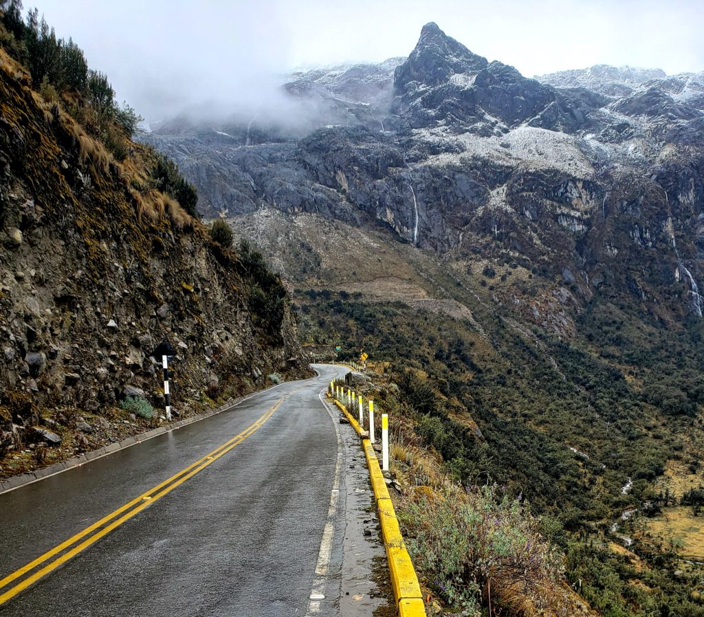
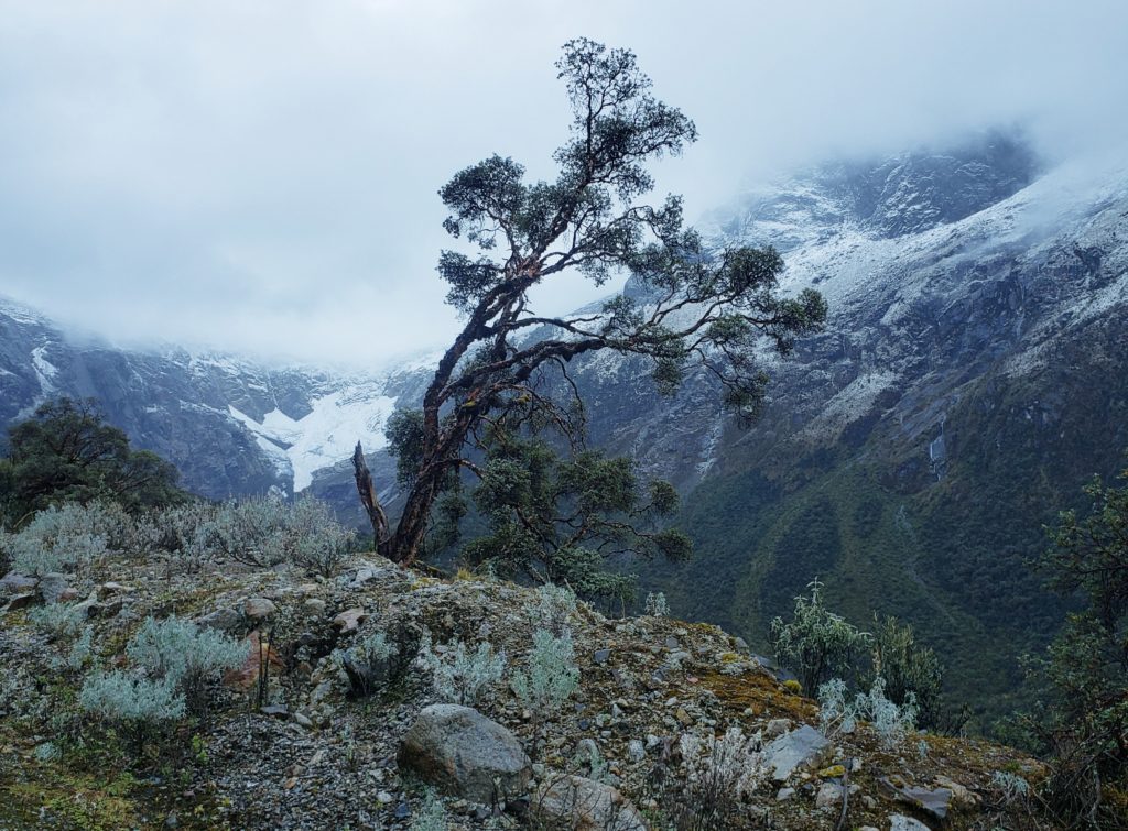
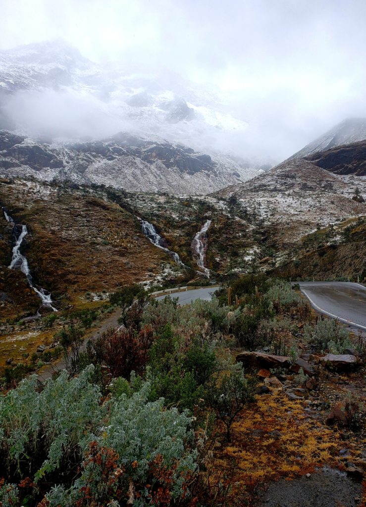
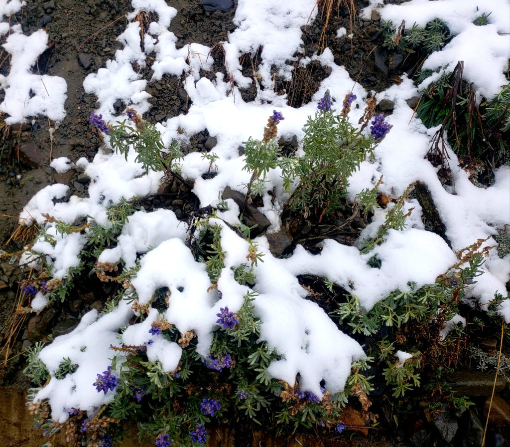
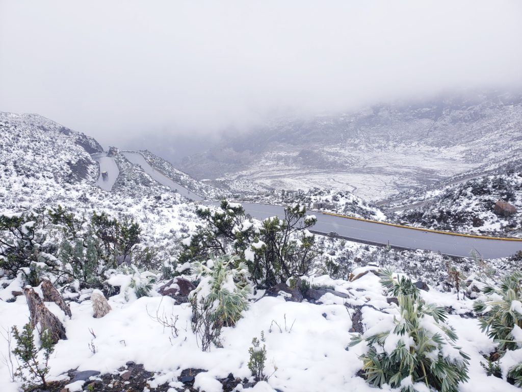
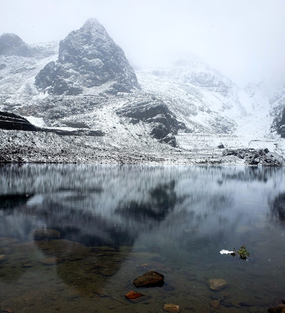
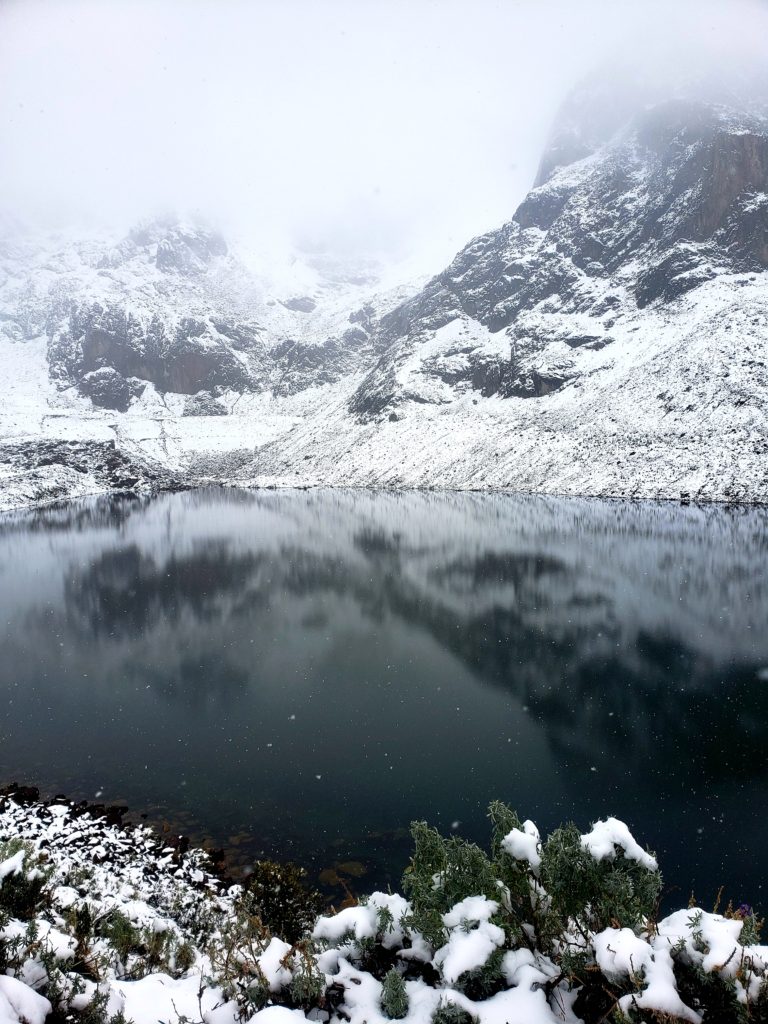
“La primera lluvia de invierno,” the lady at the hotel told me after it rained all night long in Chacas. In the southern hemisphere, Perú’s winter is technically our summer, but they still call the wet season, from October to April, “invierno.” I had thought I timed my journey through Perú to coincide with the dry season, but now, in late September, I’d fallen a bit behind schedule. I looked up to the mountains of the Cordillera Blanca to see them even whiter than before, frosted with a coat of fresh snow.
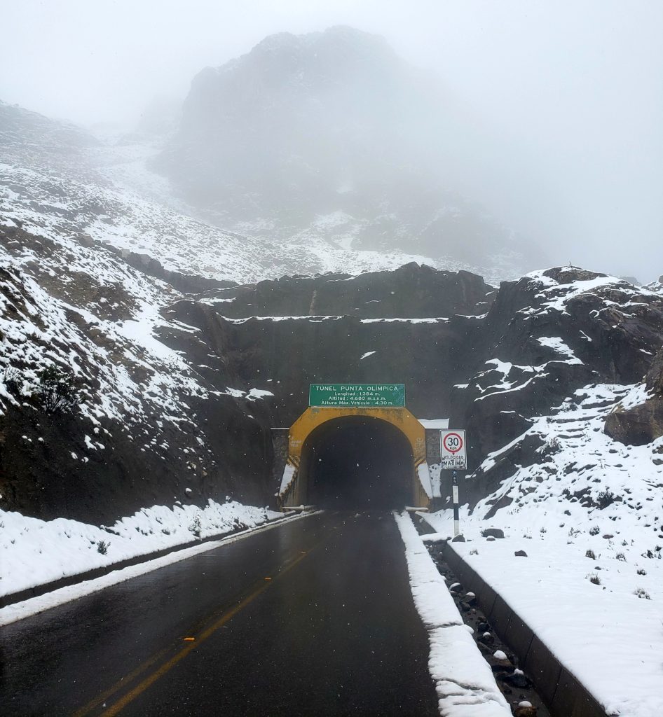
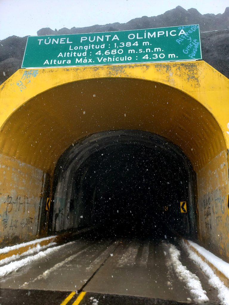
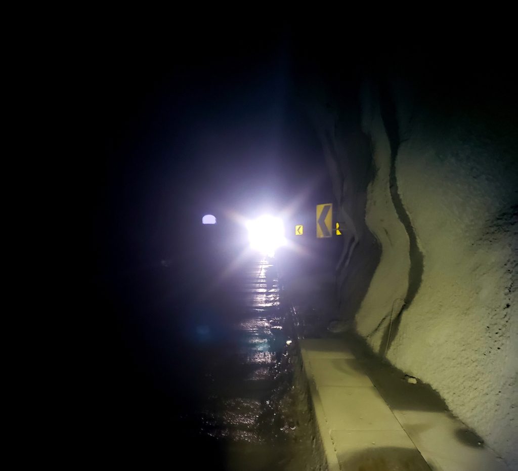
A pass called Punta Olimpica would take me back to the west side of the Cordillera. A paved road leads to a mile-long tunnel that cuts through the glacial crest of the peaks. But some cyclists still ride up a dirt trail that ascends over the top of the ridge at 16,000 feet, instead of riding through the tunnel at 15,525′. I hoped the weather would relent, so I could do just that!
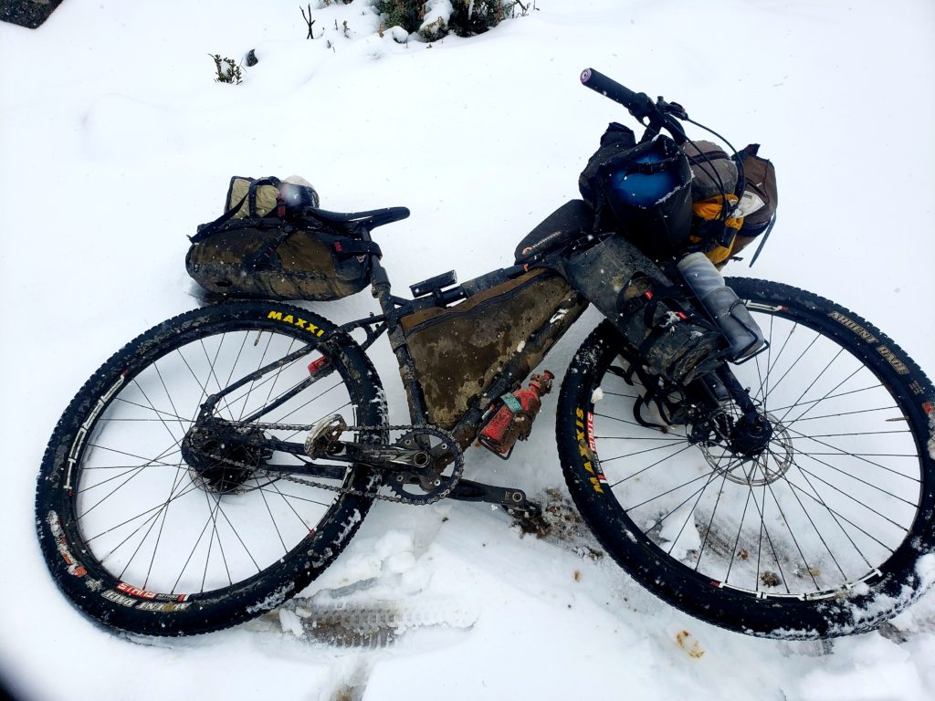
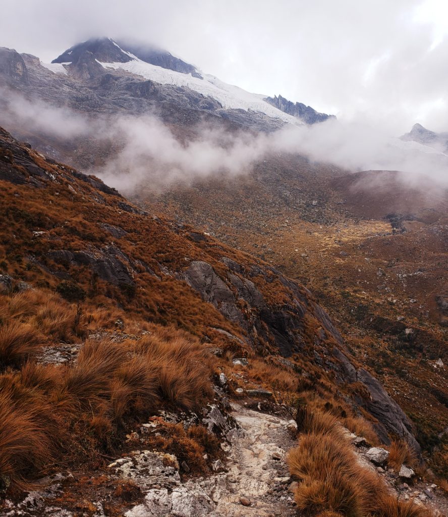
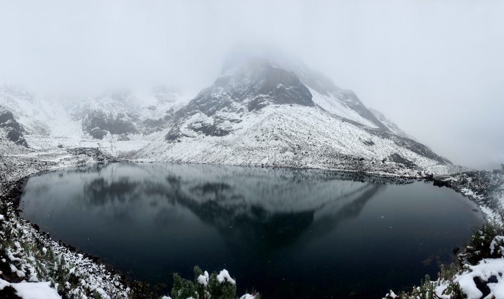
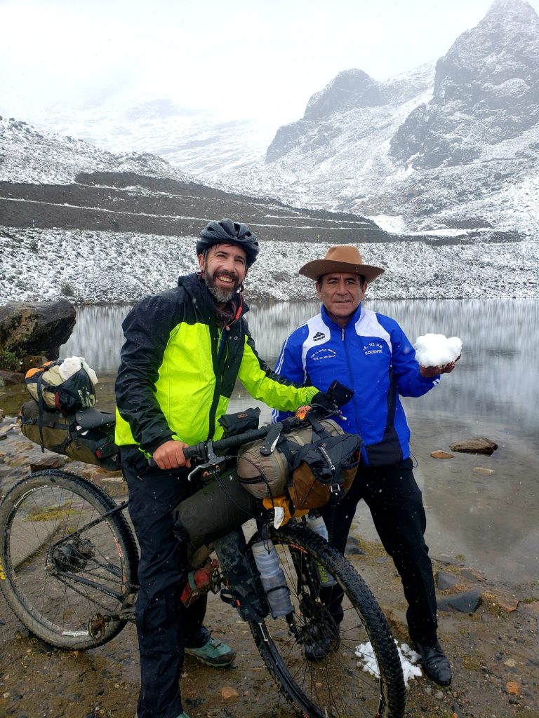
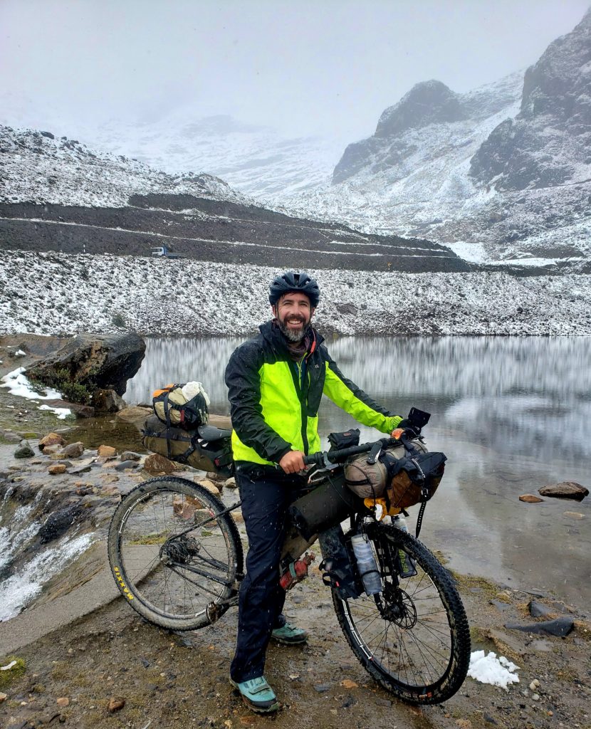
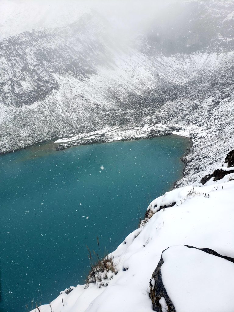
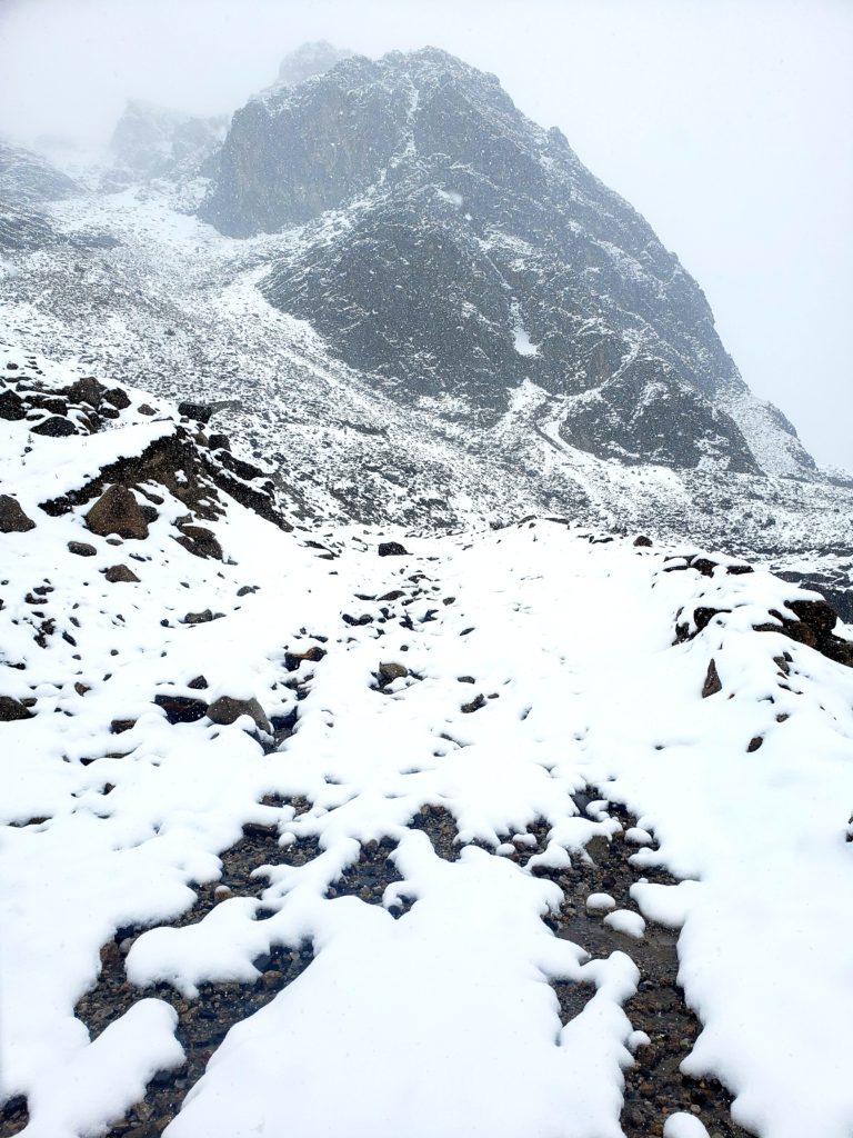
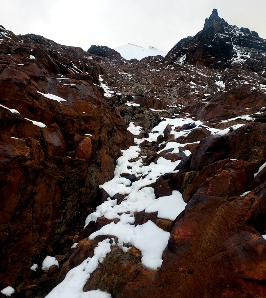
My hopes diminished as I crawled up the mountain and felt the drizzle sharpen into sleet, then soften into a light snow. I had expected the snow to render me cold and miserable, but the white world thrilled me. I felt like skiing again! What’s a little snow? I could probably make it over the pass. I might as well try. I have plenty of experience in the mountains.
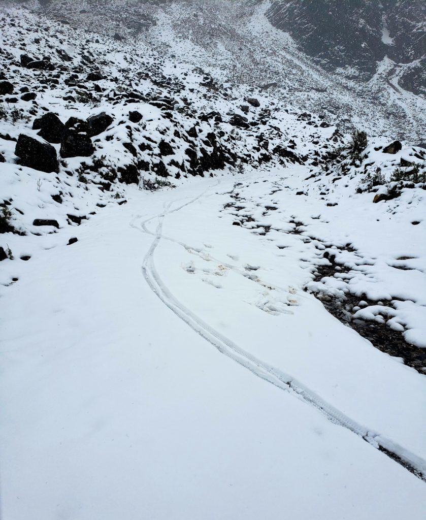
When I arrived at the tunnel, I turned left where I saw the faint depression in the snow covering a jeep trail. I slipped a little, but held my balance. My tire’s rubber gripped the dirt below two inches of fluff. This could work!
But the snow deepened quickly. I lost my balance on some loose rocks and fell onto the snow. I got up, biked a little further, and fell again. Normally, I’d be able to pick my line through a loose trail like this, but the snow made it impossible to distinguish the firm dirt from the unrideable scree.
Yanking my bike out of the snow, the premonitions of the apus came back to me. I didn’t know what the pass above me would hold, let alone the other side where I’d have to descend. I didn’t know if I’d be exposed to avalanche danger or cliffs. I didn’t have somebody to bail me out if I got hurt. It didn’t seem like the right day to do this. I should respect the apus. I turned around and rode back down to the pavement, and on through the tunnel.
Parte Siete – Nevado Mateo
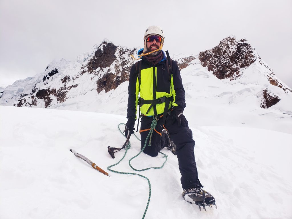
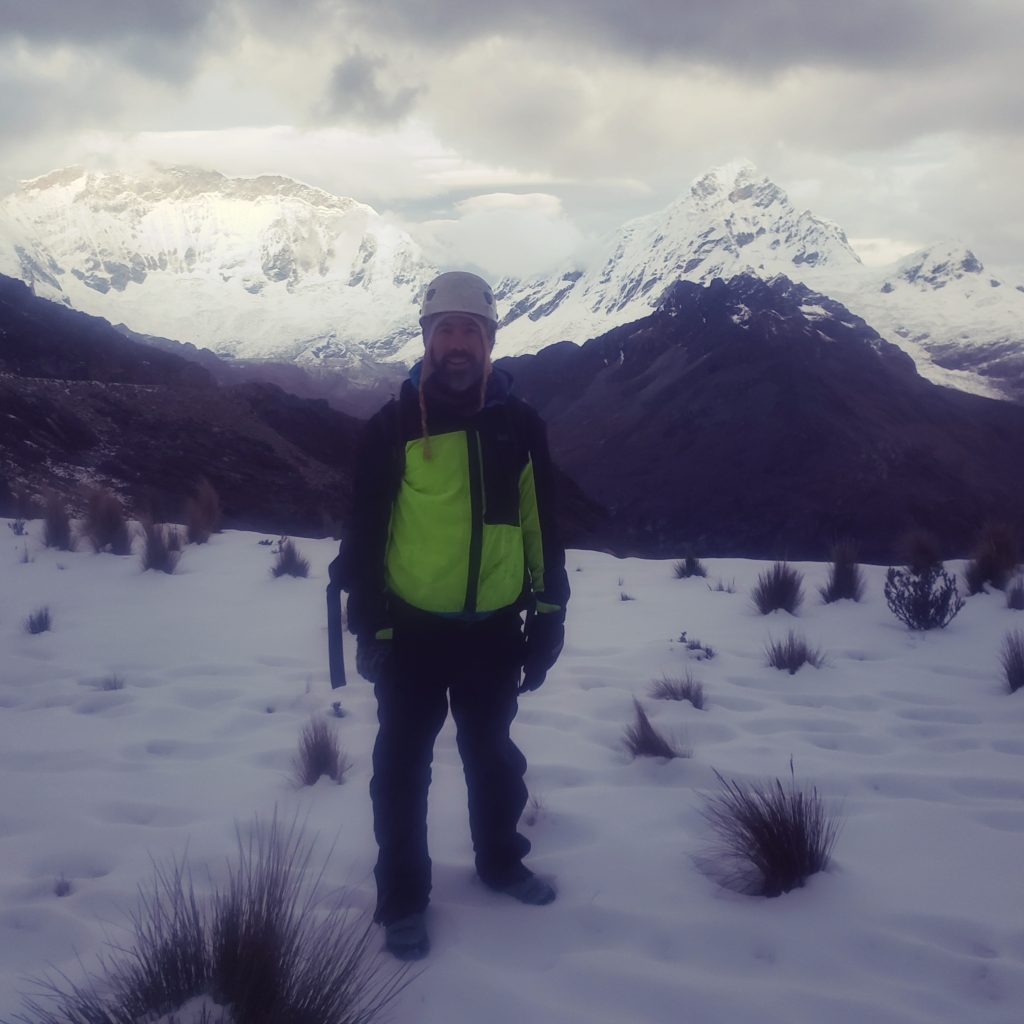
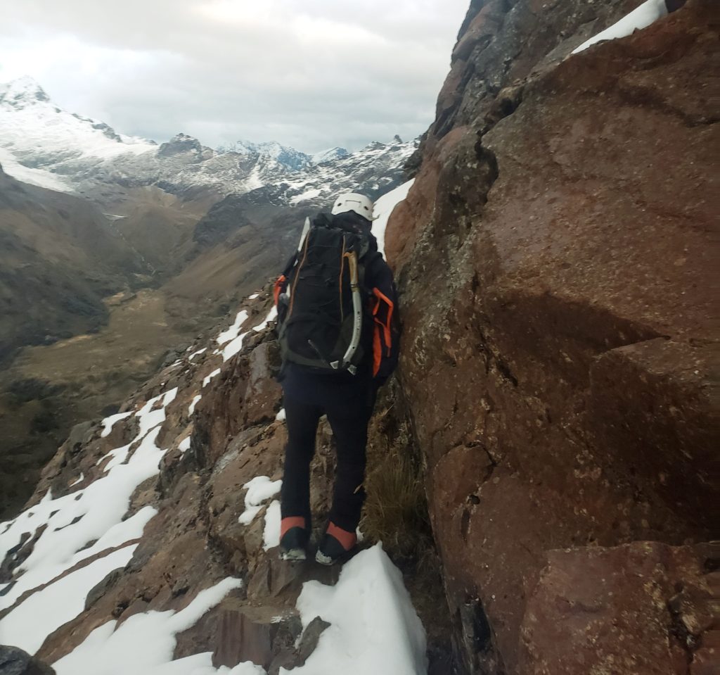
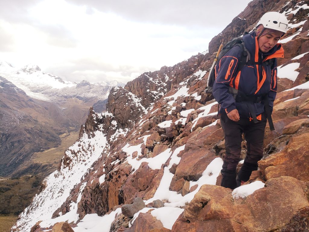
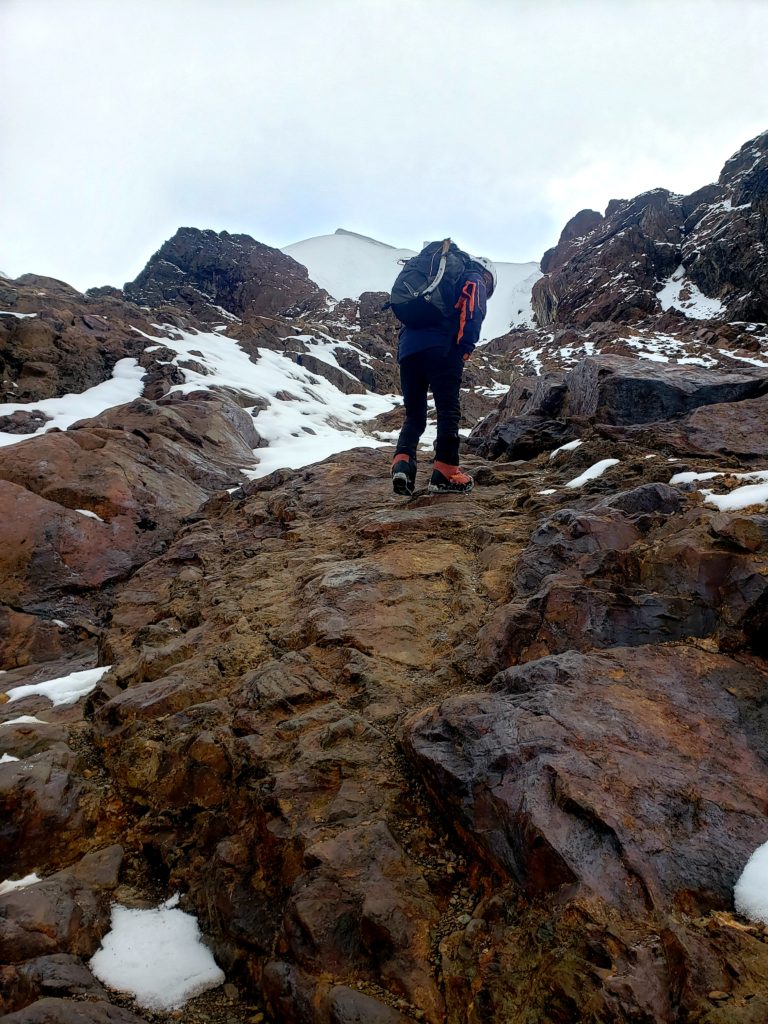
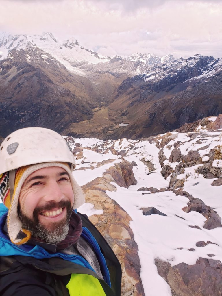
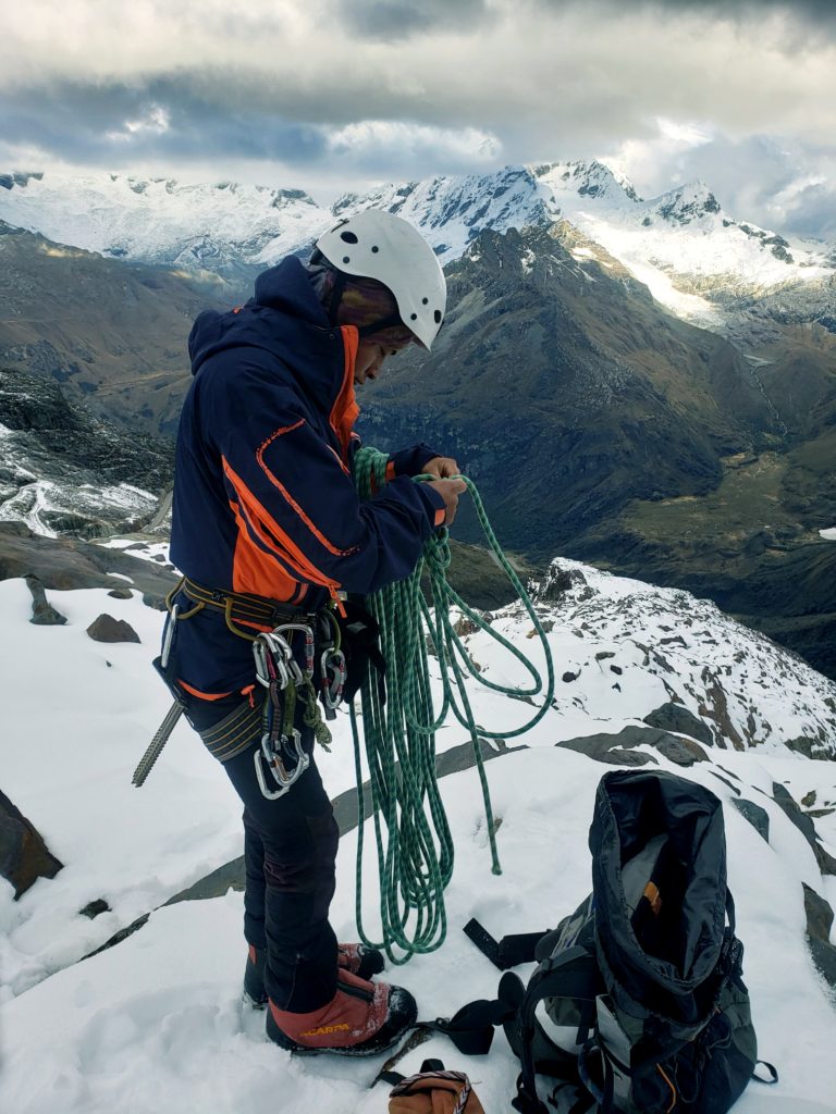
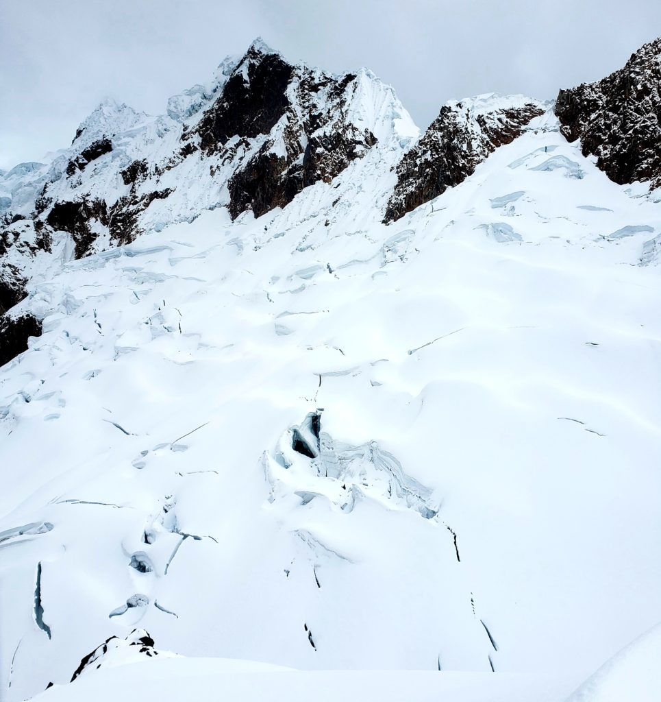
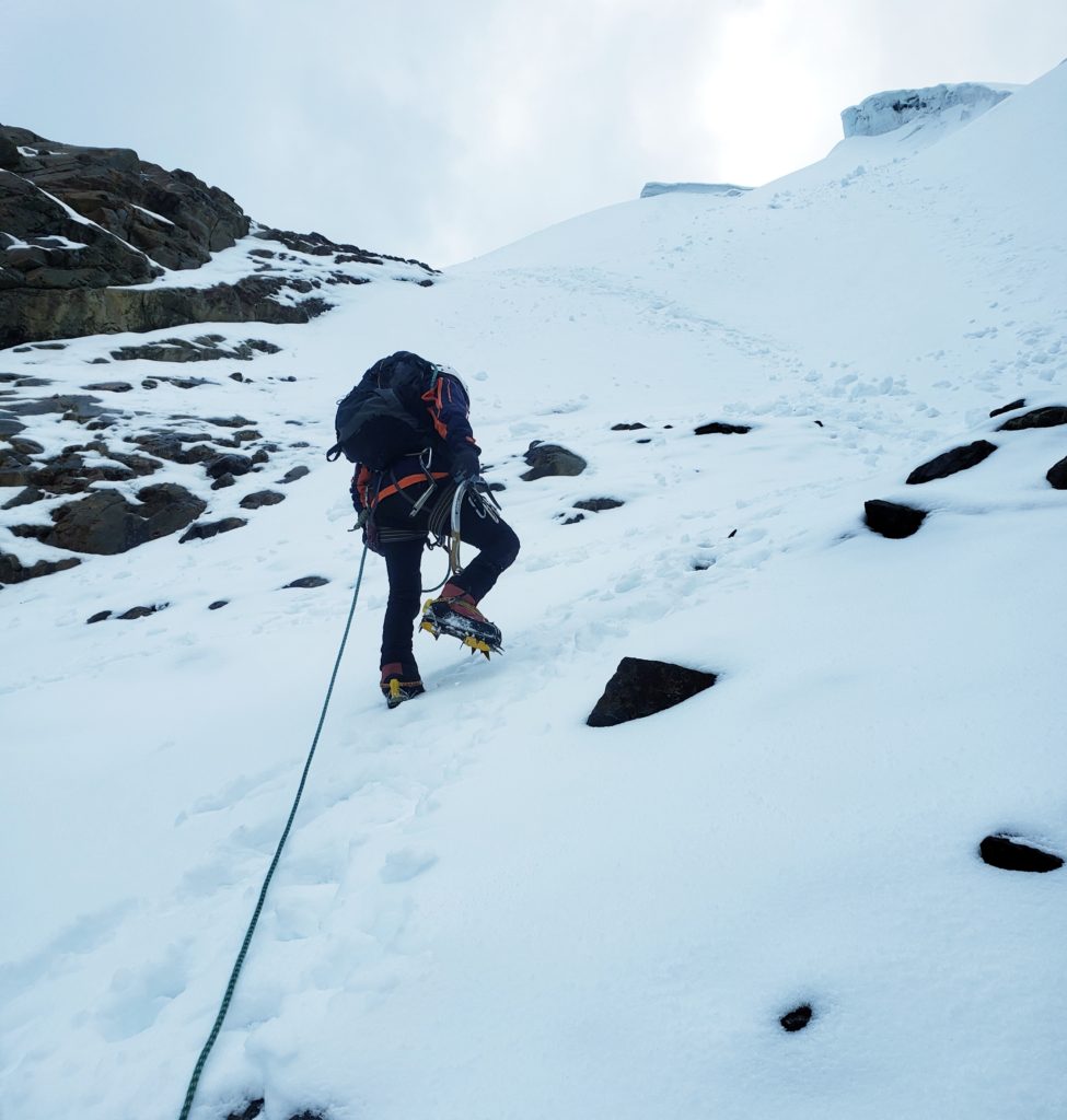
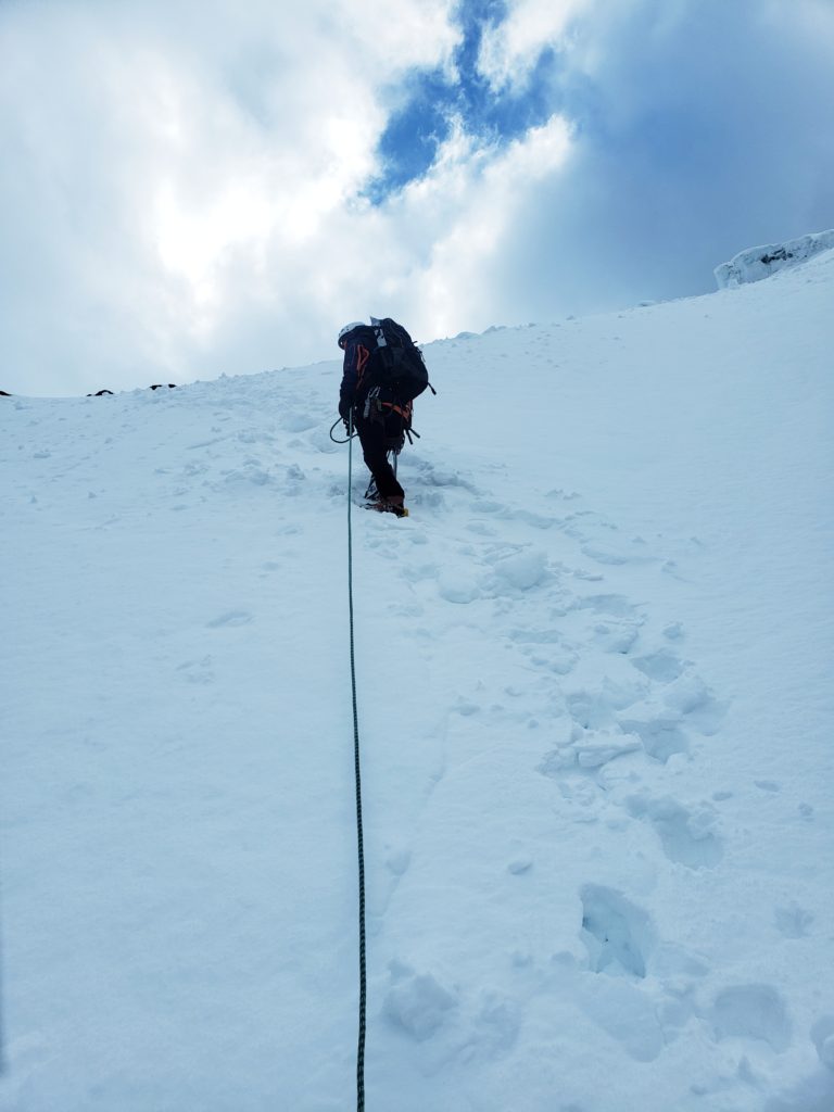
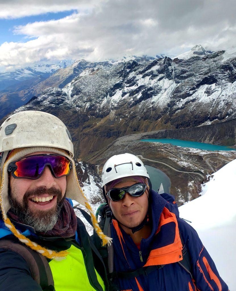
I couldn’t find my back pocket. Where was it? Finally I saw it on my front hip. My pants were on backwards… ugh. I had gotten dressed at three in the morning back in Huaraz, after all. Can’t change here, on a glacier, at sunrise, in the blasting wind. I tried to tell Raúl, my guide, since I thought it was funny, but I couldn’t think of how to say “backwards” in español. So I continued following him up the mountain.
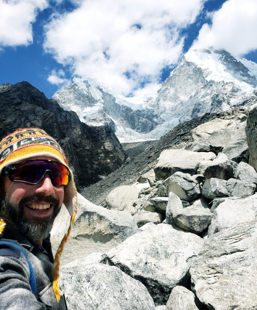
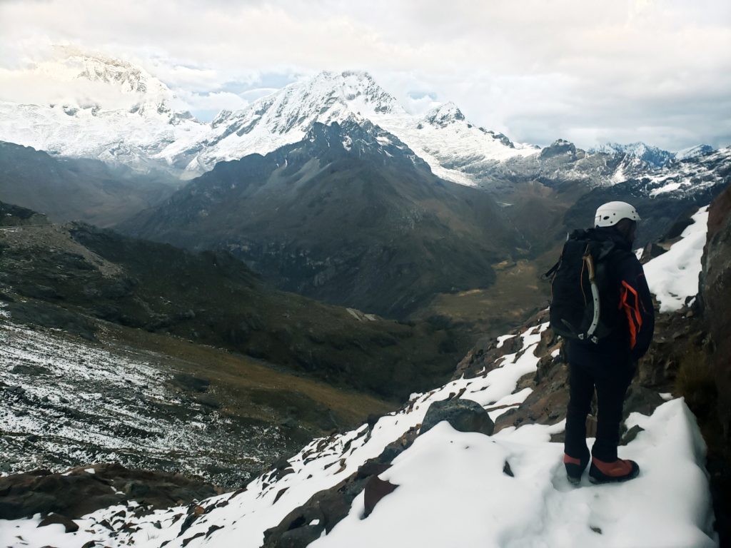
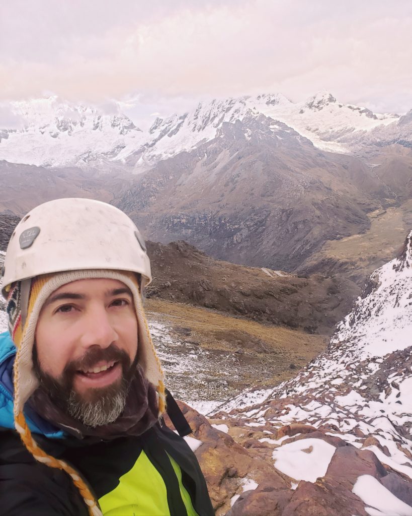
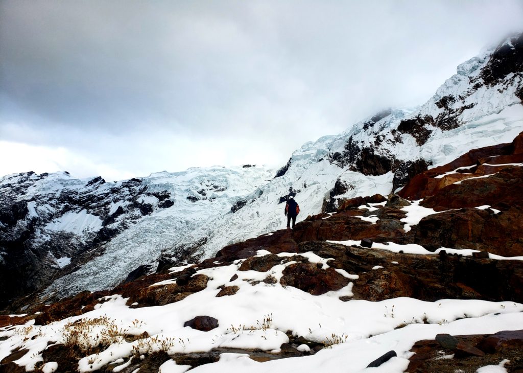
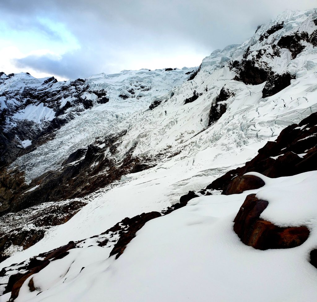
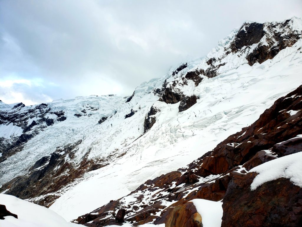
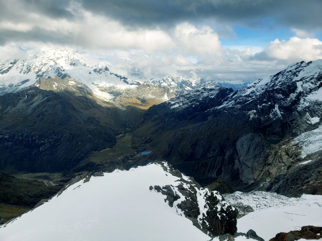
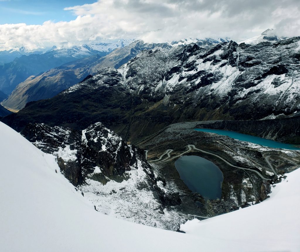
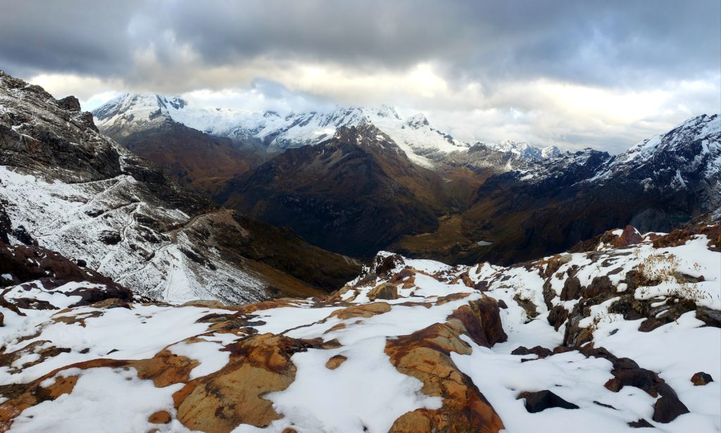
Raúl and I were climbing Nevado Mateo, a small peak directly above Punta Olimpica. Looking down, I could see the dirt road that I had decided not to ride earlier that week, squiggling over the pass. Now, a couple days later, the road had dried. The sun peeked through a high cloud cover and we could see icy mountains, including Huascarán, in all directions, a panorama that the snowstorm had hidden when I’d been on my bike.
We laced on crampons and tied ourselves to each other with a rope for the final pitch to the summit. I told Raúl this would make a good ski descent. He’d climbed many of the surrounding mountains, including Huascarán, but had never skied before.
Raúl seemed to embody everything I’d learned about the Cordillera Blanca. As a mountain guide, he had to respect the apus, and he had acquired a level of knowledge necessary to defend against their wrath. He knew how to avoid avalanches and crevasses, how to identify inclement weather before it happened, and how to use protective gear to mitigate danger in the mountains. In the past, mountaineers like Raúl had even given early warning of rising waters in glacial lakes and the instability of the glacier on Huascarán, before the related disasters occurred.
But Raúl, born in Huaraz, also benefited greatly from the economic opportunities that the Cordillera afforded. His wages, primarily from foreign tourists, far exceeded the regional average. This income opportunity resulted, in part, from the infrastructure that had been installed during the disaster mitigation projects. The danger and the wealth of the mountains seem almost inseparable, for Raúl and his entire community.
As we walked down the glacier, I jokingly complained that we should be skiing. But really, I considered myself lucky to have experienced the wonder of the Cordillera, without incurring the wrath of the apus. I didn’t even need to sacrifice any llamas. This time, at least.
Note 1 – Most of the historical information in this piece comes from In the Shadow of Melting Glaciers, by Mark Carey. The book also discusses the social and political impacts of the natural disasters and economic development. Very interesting read.
Note 2 – See link here for the chilling video of Nathan’s friend breaking his ankles. Video by Kyle Hughes. I hung out with Kyle and Nathan in Huaraz while Kyle was finishing this video.
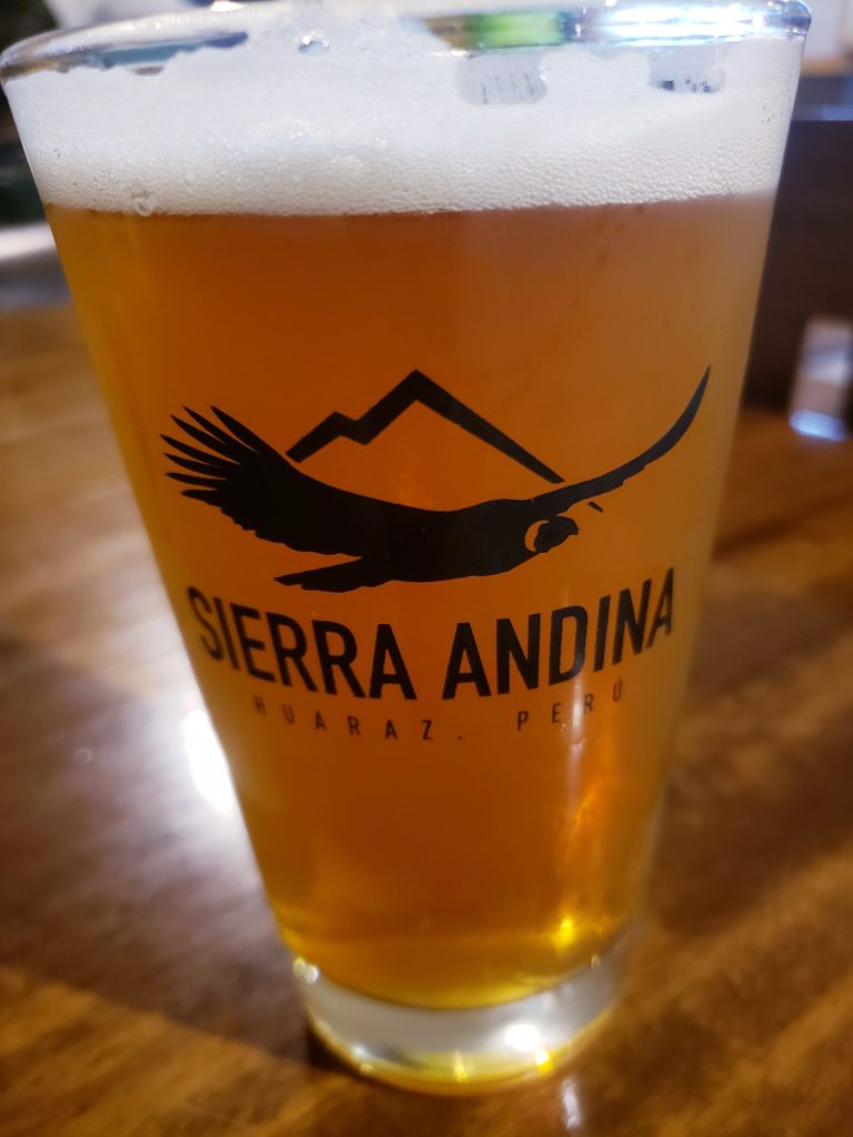
Note 3 – If you made it this far, I owe you a beer when I get back next year! Please let me know to redeem.





Archives
Calendar
| M | T | W | T | F | S | S |
|---|---|---|---|---|---|---|
| « Mar | ||||||
| 1 | 2 | 3 | 4 | |||
| 5 | 6 | 7 | 8 | 9 | 10 | 11 |
| 12 | 13 | 14 | 15 | 16 | 17 | 18 |
| 19 | 20 | 21 | 22 | 23 | 24 | 25 |
| 26 | 27 | 28 | 29 | 30 | 31 | |